
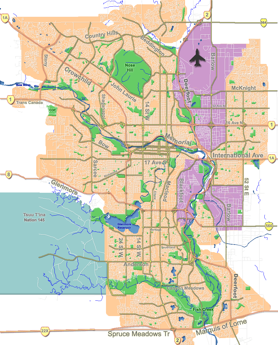
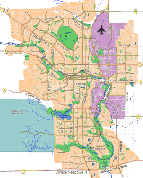
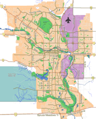
Image: Calgary street map
Size of this preview: 483 × 600 pixels. Other resolutions: 193 × 240 pixels | 960 × 1,192 pixels.
Original image (960 × 1,192 pixels, file size: 802 KB, MIME type: image/png)
Description: Outline map of Calgary.
Title: Calgary street map
Credit: GIS data
Author: Qyd
Usage Terms: Public domain
License: Public domain
Attribution Required?: No
Image usage
The following 23 pages link to this image:
- Alyth/Bonnybrook/Manchester
- Beddington Heights, Calgary
- Bow River pathway
- Bowness, Calgary
- Calgary
- Crescent Heights, Calgary
- Fish Creek Provincial Park
- Forest Lawn, Calgary
- Glenmore Reservoir
- Inglewood, Calgary
- Kensington, Calgary
- List of bridges in Calgary
- Marda Loop, Calgary
- Midnapore, Calgary
- Mission, Calgary
- Montgomery, Calgary
- Parkdale, Calgary
- Prince's Island Park (Calgary)
- Sikome Lake
- Sunnyside, Calgary
- Tsuu T'ina 145
- Tsuu T'ina Nation Indian Reserve No
- Tsuut'ina 145

All content from Kiddle encyclopedia articles (including the article images and facts) can be freely used under Attribution-ShareAlike license, unless stated otherwise.