
Image: Edmonton agglomeration-blank

Size of this PNG preview of this SVG file: 520 × 600 pixels. Other resolution: 208 × 240 pixels.
Original image (SVG file, nominally 902 × 1,040 pixels, file size: 3.59 MB)
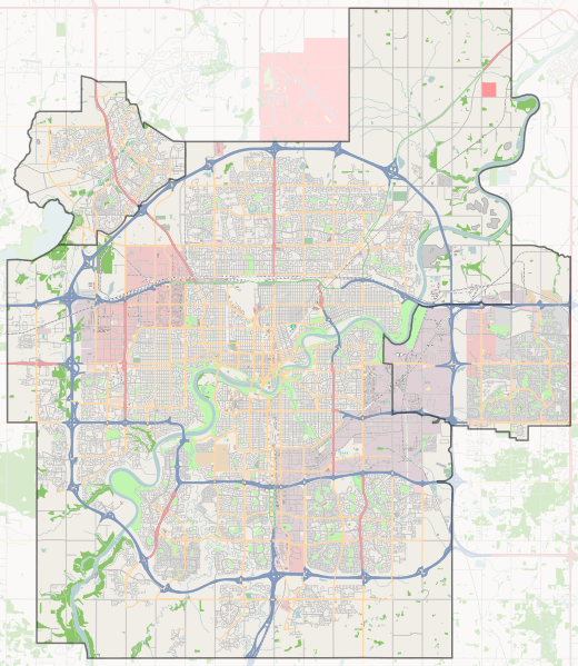
Description: OpenStreetMap of Edmonton, Sherwood Park, and St. Albert, Alberta, Canada. Geographic limits of the map: N: 53.720° N S: 53.392° N W: 113.719° W E: 113.240° W
Title: Edmonton agglomeration-blank
Credit: Own work from OpenStreetMap.org
Author: Flappiefh
Usage Terms: Creative Commons Attribution-Share Alike 3.0
License: CC BY-SA 3.0
License Link: https://creativecommons.org/licenses/by-sa/3.0
Attribution Required?: Yes
Image usage
The following 17 pages link to this image:
- Beverly, Alberta
- Calder, Edmonton
- Chinatown and Little Italy, Edmonton
- Commonwealth Stadium
- Downtown Edmonton
- Edmonton Valley Zoo
- Ellerslie, Edmonton
- Glenora, Edmonton
- Ice District
- Jasper Place
- North Edmonton, Alberta
- RE/MAX Field
- Rossdale, Edmonton
- Sacred Heart Church of the First Peoples
- St. Albert, Alberta
- Strathcona, Alberta
- Walterdale, Edmonton

All content from Kiddle encyclopedia articles (including the article images and facts) can be freely used under Attribution-ShareAlike license, unless stated otherwise.