
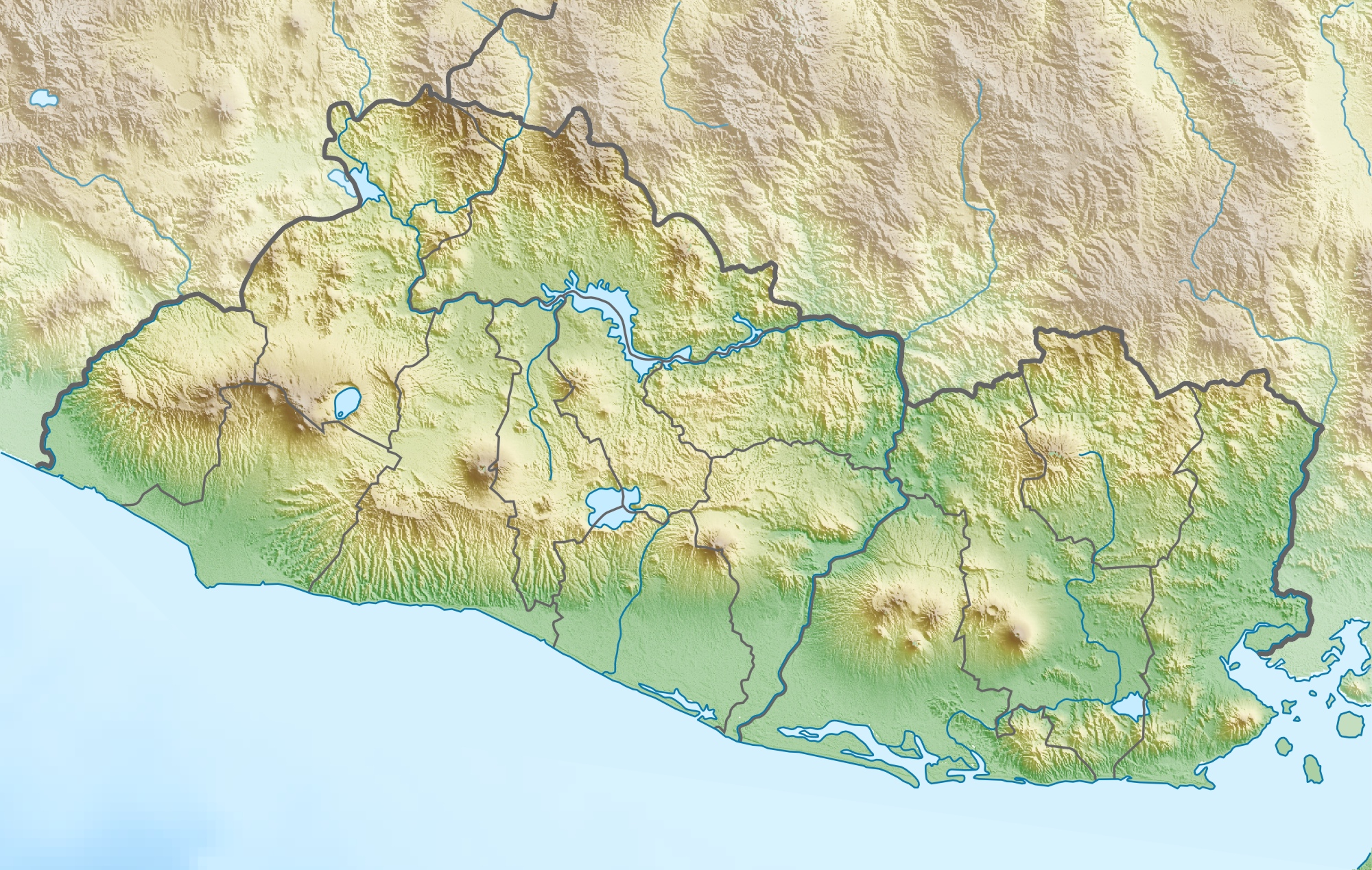
Image: El Salvador relief location map
Description: Physical location map of El Salvador
Title: El Salvador relief location map
Credit: Own work, using map data from administrative map by NordNordWest. The relief was created from SRTM-3 relief data
Author: Carport
Permission: This file is licensed under the Creative Commons Attribution-Share Alike 3.0 Unported license. You are free: to share – to copy, distribute and transmit the work to remix – to adapt the work Under the following conditions: attribution – You must give appropriate credit, provide a link to the license, and indicate if changes were made. You may do so in any reasonable manner, but not in any way that suggests the licensor endorses you or your use. share alike – If you remix, transform, or build upon the material, you must distribute your contributions under the same or compatible license as the original. https://creativecommons.org/licenses/by-sa/3.0 CC BY-SA 3.0 Creative Commons Attribution-Share Alike 3.0 truetrue
Usage Terms: Creative Commons Attribution-Share Alike 3.0
License: CC BY-SA 3.0
License Link: https://creativecommons.org/licenses/by-sa/3.0
Attribution Required?: Yes
Image usage
The following 19 pages link to this image:
- Cerro El Pital
- Cerrón Grande Reservoir
- Chinameca (volcano)
- Coatepeque Caldera
- Conchagua (volcano)
- Conchagüita
- Guazapa (volcano)
- Jiboa River
- Lake Güija
- Lake Ilopango
- Lake Olomega
- Lempa River
- Río Grande de San Miguel
- San Miguel (volcano)
- San Salvador
- San Salvador (volcano)
- Santa Ana Volcano
- Sumpul River
- Tecapa
