
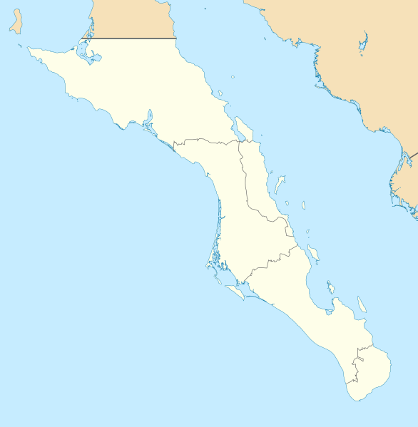
Image: Mexico Baja California Sur location map

Size of this PNG preview of this SVG file: 586 × 599 pixels. Other resolution: 235 × 240 pixels.
Original image (SVG file, nominally 923 × 944 pixels, file size: 374 KB)
Description: Own work as from the map of municipalities of INEGI and costs taken from OpenStreetMap.org (under Creative Commons Attribution-Share Alike 2.0 Generic Licence). Limits of map: West : 115.50' W Est : 109.00º W North : 28.50° N South : 22.50° N
Title: Mexico Baja California Sur location map
Credit: Baja_California_Sur_Location_Map.svg
Author: Baja_California_Sur_Location_Map.svg: Addicted04 derivative work: Spischot (talk)
Usage Terms: Creative Commons Attribution-Share Alike 3.0
License: CC BY-SA 3.0
License Link: https://creativecommons.org/licenses/by-sa/3.0
Attribution Required?: Yes
Image usage
The following 17 pages link to this image:
- Ciudad Constitución
- Ciudad Insurgentes
- Guerrero Negro
- Isla Espíritu Santo
- La Paz, Baja California Sur
- La Paz International Airport
- La Ventana
- Loreto, Baja California Sur
- Los Barriles, Baja California Sur
- Magdalena Bay
- Mulegé
- San Carlos, Baja California Sur
- San Ignacio, Baja California Sur
- San José del Cabo
- San Marcos, Baja California Sur
- Santa Rosalía, Baja California Sur
- Visita de la Presentación

All content from Kiddle encyclopedia articles (including the article images and facts) can be freely used under Attribution-ShareAlike license, unless stated otherwise.