
Image: Mexico Jalisco location map

Size of this PNG preview of this SVG file: 612 × 600 pixels. Other resolution: 245 × 240 pixels.
Original image (SVG file, nominally 2,511 × 2,461 pixels, file size: 2.49 MB)
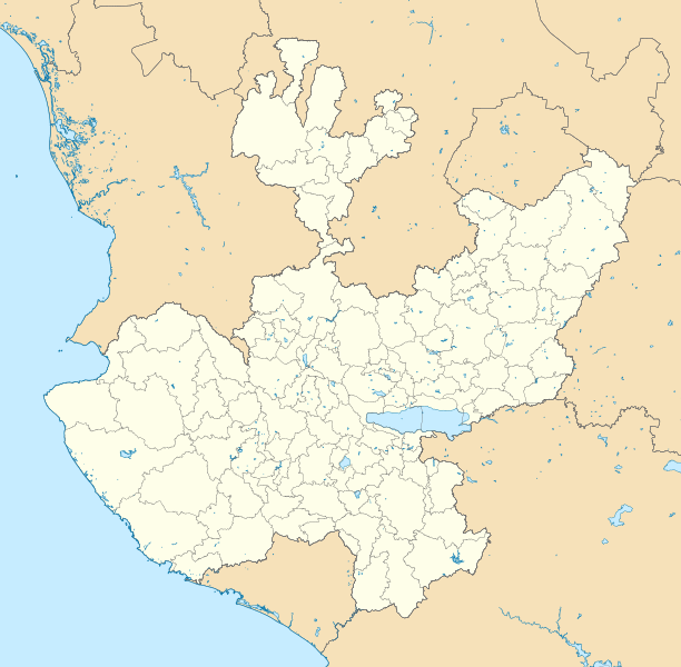
Description: Location Map of Jalisco. EPSG:3857 projection, Geographic limits of the map: N: 23.00° N S: 18.60° N W: 106.00° W E: 101.20° W
Title: Mexico Jalisco location map
Credit: Sources of data: INEGI, Marco Geoestadístico Nacional, 2014. (Free use of the data)
Author: Battroid (talk)
Usage Terms: Public domain
License: Public domain
Attribution Required?: No
Image usage
The following 22 pages link to this image:
- Ajijic
- Bolaños Municipality
- Capilla de Guadalupe
- Cihuatlán
- Ciudad Guzmán
- Coyula, Tonalá
- El Salto, Jalisco
- El Tuito
- Hostotipaquillo
- Laguna de Sayula
- Lake Chapala
- Licenciado Gustavo Díaz Ordaz International Airport
- Miguel Hidalgo y Costilla Guadalajara International Airport
- San Jerónimo (Los Barbosa)
- San José del Castillo
- San Juan de los Lagos
- San Patricio, Jalisco
- Santa Cruz de las Flores, Tlajomulco de Zúñiga, Jalisco
- Tenzompa, Jalisco
- Tequila Volcano
- Tlajomulco de Zúñiga
- Yahualica de González Gallo

All content from Kiddle encyclopedia articles (including the article images and facts) can be freely used under Attribution-ShareAlike license, unless stated otherwise.