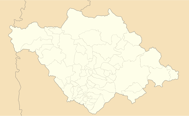
Image: Mexico Tlaxcala location map

Size of this PNG preview of this SVG file: 800 × 491 pixels. Other resolution: 320 × 196 pixels.
Original image (SVG file, nominally 4,066 × 2,494 pixels, file size: 438 KB)
Description: Location Map of en:Tlaxcala Equirectangular projection, Geographic limits of the map: N: 19.774° N S: 19.09° N W: 98.76° W E: 97.579° W
Title: Mexico Tlaxcala location map
Credit: Own work
Author: Battroid (talk)
Usage Terms: Public domain
License: Public domain
Attribution Required?: No
Image usage
The following 20 pages link to this image:
- Amaxac de Guerrero
- Apetatitlán de Antonio Carvajal
- Contla de Juan Cuamatzi
- Cuaxomulco
- Huamantla
- La Magdalena Tlaltelulco
- Malinche (volcano)
- Ocotlán, Tlaxcala
- Panotla
- San Damián Texoloc
- Santa Cruz Tlaxcala
- Santa Isabel Xiloxoxtla
- Tetla de la Solidaridad
- Tlaxco, Tlaxcala
- Tocatlán
- Totolac
- Xaloztoc
- Xicohtzinco
- Yauhquemecan
- Zacatelco

All content from Kiddle encyclopedia articles (including the article images and facts) can be freely used under Attribution-ShareAlike license, unless stated otherwise.
