
Image: QuebecCity location map

Size of this preview: 672 × 600 pixels. Other resolutions: 269 × 240 pixels | 2,350 × 2,097 pixels.
Original image (2,350 × 2,097 pixels, file size: 319 KB, MIME type: image/png)
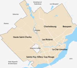
Description: Carte géographique de la ville de Québec
Title: QuebecCity location map
Credit: Own work
Author: Orbitale
Usage Terms: Creative Commons Attribution-Share Alike 3.0
License: CC BY-SA 3.0
License Link: https://creativecommons.org/licenses/by-sa/3.0
Attribution Required?: Yes
Image usage
The following 11 pages link to this image:
- Jaune River (Saint-Charles River tributary)
- La Petite Rivière (Nelson River tributary)
- Lake Saint-Charles
- Lorette River
- Nelson River (Saint-Charles River tributary)
- Noire River (rivière des Hurons)
- Rivière du Cap Rouge
- Saint-Roch Church (Quebec City)
- Sillery, Quebec City
- St. Andrew's Church (Quebec City)
- St. Patrick's Church (Quebec City)

All content from Kiddle encyclopedia articles (including the article images and facts) can be freely used under Attribution-ShareAlike license, unless stated otherwise.