
Image: Sheffield outline map with UK

Size of this PNG preview of this SVG file: 612 × 437 pixels. Other resolution: 320 × 228 pixels.
Original image (SVG file, nominally 612 × 437 pixels, file size: 808 KB)
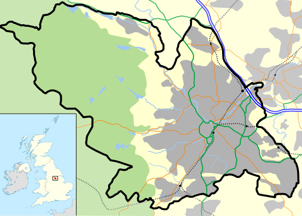
Description: Sheffield outline, showing motorways and urban areas.
Title: Sheffield outline map with UK
Credit: Mapping is derived from Open Street Map data, which is licensed under a creative commons attribution sharealike licence. UK outline is File:Uk outline map.png, which is licensed under the GFDL.
Author: JeremyA
Permission: Permission is granted for reuse only under the terms of the below licence.
Usage Terms: Creative Commons Attribution-Share Alike 2.0
License: CC BY-SA 2.0
License Link: https://creativecommons.org/licenses/by-sa/2.0
Attribution Required?: Yes
Image usage
The following 17 pages link to this image:
- Deepcar
- Fulwood, Sheffield
- Handsworth, South Yorkshire
- Hillsborough, Sheffield
- Longley, Sheffield
- Loxley, South Yorkshire
- Middlewood, South Yorkshire
- Netherthorpe, Sheffield
- Sacred Heart Church, Hillsborough
- St Catherine of Siena, Richmond
- St James, Norton
- St Mary's Church, Bramall Lane
- St Peter, Greenhill
- Stannington, Sheffield
- Upperthorpe, Sheffield
- Victoria Quays
- Wincobank (hill fort)

All content from Kiddle encyclopedia articles (including the article images and facts) can be freely used under Attribution-ShareAlike license, unless stated otherwise.