Jhalokati District facts for kids
Quick facts for kids
Jhalokati
ঝালকাঠি
|
|
|---|---|
|
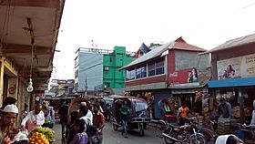
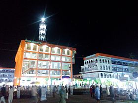
From top: Jhalokati Sadar Road, Kirtipasha Zamindar Bari Ruins and Jhalokathi N S Kamil Madrasah Complex
|
|

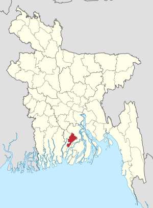
Location of Jhalokati in Bangladesh
|
|
| Country | |
| Division | Barisal Division |
| Area | |
| • Total | 758.06 km2 (292.69 sq mi) |
| Population
(2011 census)
|
|
| • Total | 694,090 |
| • Density | 915.614/km2 (2,371.43/sq mi) |
| Time zone | UTC+06:00 (BST) |
| HDI (2018) | 0.672 medium · 2nd of 21 |
Jhalokati (also spelled Jhalokathi) is a district located in the southwestern part of Bangladesh. It is part of the Barisal Division, which is one of the major administrative areas in the country. This district was officially created in 1984.
Parts of Jhalokati
Jhalokati district is divided into smaller administrative areas called upazilas. Think of an upazila as a sub-district or a local government area. These upazilas help manage the different parts of the district.
Upazilas in Jhalokati
There are four main upazilas in Jhalokati district:
- Jhalokati Sadar Upazila
- Kathalia Upazila
- Nalchity Upazila
- Rajapur Upazila
See also
 In Spanish: Jhalokati (zila) para niños
Black History Month on Kiddle
African-American Labor Activists
 | Bayard Rustin |
 | Jeannette Carter |
 | Jeremiah A. Brown |

All content from Kiddle encyclopedia articles (including the article images and facts) can be freely used under Attribution-ShareAlike license, unless stated otherwise. Cite this article:
Jhalokati District Facts for Kids. Kiddle Encyclopedia.


