Jicarilla Mountains facts for kids
Quick facts for kids Jicarilla Mountains |
|
|---|---|
| Highest point | |
| Peak | Ancho Peak |
| Elevation | 2,385 m (7,825 ft) |
| Geography | |
| Location | Lincoln County, New Mexico |
| Range coordinates | 33°52′N 105°40′W / 33.867°N 105.667°W |
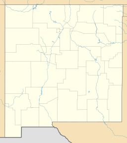
The Jicarilla Mountains are a mountain range. You can find them in Lincoln County, New Mexico. This area is in the southwestern United States. These mountains are known for their interesting history.
What Are the Jicarilla Mountains?
The Jicarilla Mountains are a natural landform. They are part of a larger system of mountains. The highest point in the range is Ancho Peak. It stands about 2,385 meters (7,825 feet) tall. The Sacramento Mountains are located nearby. They are to the southwest of the Jicarilla range.
How Did the Mountains Get Their Name?
The Jicarilla Mountains were named after the Jicarilla Apache Nation. This Native American group has a long history in the region. The name honors their connection to the land. For a time, the range was also sometimes called the Sacramento Mountains.
The Gold Rush Story
In the mid-1800s, something exciting happened. Gold seekers started arriving in the Jicarilla Mountains. This was around the year 1850. People hoped to find valuable gold. It took some time, but mines were eventually built.
Many people moved to the area. They wanted to find their fortune. Two towns grew because of the mining. These towns were Jicarilla and White Oaks. People lived and worked there for many years.
However, the gold mines did not last forever. By the early 1900s, the mines were no longer making enough money. They became unprofitable. Because of this, the towns of Jicarilla and White Oaks were abandoned. Today, they are like ghost towns. They stand as a reminder of the gold rush era.
 | Selma Burke |
 | Pauline Powell Burns |
 | Frederick J. Brown |
 | Robert Blackburn |


