Kamarang facts for kids
Quick facts for kids
Kamarang
|
|
|---|---|
|
Village
|
|

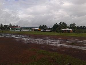
Kamarang looking east
|
|
| Country | |
| Region | Cuyuni-Mazaruni |
| Government | |
| • Type | Village-Council |
| Population
(2012)
|
|
| • Total | 347 |
Kamarang is a village in Guyana, a country in South America. It's an Amerindian village, meaning it's home to one of Guyana's native groups. The village is located where two rivers meet: the Kamarang River and the Mazaruni River. This area is part of the Cuyuni-Mazaruni Region.
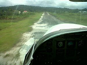
Kamarang has important services for its people. These include a primary school where children learn, a hospital for health care, and a police station to keep everyone safe. You can reach Kamarang by flying into the Kamarang Airport.
The village has grown a lot economically since the early 2000s. This growth was mainly because of gold and diamond mining nearby. However, by 2019, the amount of gold and diamonds found started to decrease. Kamarang is located at an elevation of about 490 meters (1,601 feet) above sea level.
Who Lives in Kamarang?
Kamarang's Population
In 2002, a count of the people living in Kamarang showed that there were 349 residents. This number helps us understand the size of the community.
See also
 In Spanish: Camarán para niños
 | Isaac Myers |
 | D. Hamilton Jackson |
 | A. Philip Randolph |


