Kanwaka, Kansas facts for kids
Quick facts for kids
Kanwaka, Kansas
|
|
|---|---|

|
|
| Country | United States |
| State | Kansas |
| County | Douglas |
| Founded | 1854 |
| Elevation | 1,066 ft (325 m) |
| Time zone | UTC-6 (CST) |
| • Summer (DST) | UTC-5 (CDT) |
| Area code | 785 |
| FIPS code | 20-36065 |
| GNIS ID | 484875 |
Kanwaka is a small place in Douglas County, Kansas, in the United States. It is not a city or town with its own government. Instead, it is called an "unincorporated community." You can find Kanwaka about 4 miles west of a bigger city named Lawrence. The name "Kanwaka" is a mix of two river names: the Kansas and Wakarusa Rivers.
Kanwaka's Past: A Brief History
People first started settling in the area now known as Kanwaka in 1854. This was a time when Kansas was still a territory, not yet a state. Kanwaka had its own post office for a while. The first post office operated from 1857 to 1870. It then reopened later, from 1898 until 1900.
Where is Kanwaka Located?
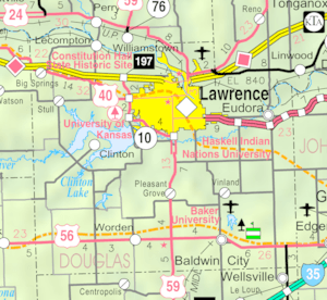
Kanwaka is easy to find on a map. It is located exactly where U.S. Highway 40 and Stull Road meet. This intersection helps people navigate to and from the community.
 | Delilah Pierce |
 | Gordon Parks |
 | Augusta Savage |
 | Charles Ethan Porter |


