Kimball, Kansas facts for kids
Quick facts for kids
Kimball, Kansas
|
|
|---|---|

|
|
| Country | United States |
| State | Kansas |
| County | Neosho |
| Founded | 1880s |
| Platted | 1888 |
| Elevation | 1,043 ft (318 m) |
| Time zone | UTC-6 (CST) |
| • Summer (DST) | UTC-5 (CDT) |
| Area code | 620 |
| FIPS code | 20-36800 |
| GNIS ID | 474978 |
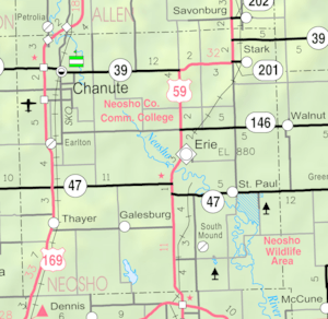
Kimball is a small, quiet place in Neosho County, Kansas, United States. It's called an unincorporated community, which means it doesn't have its own local government like a city does. Instead, it's part of the larger county. Kimball is located right next to a railroad line, between the towns of Erie and Stark.
Contents
A Look Back at Kimball's History
How Kimball Started
Kimball was first planned out and officially recorded in 1888. This process is called platting, which means someone drew up a map showing where the streets, lots, and public areas would be. When it was first platted, the community's name was spelled Kimbal, with only one "L".
Post Office and Name Change
The first post office in Kimbal opened its doors in May 1888. For many years, people used this post office to send and receive mail. Later, in 1950, the community's name was officially changed to Kimball, adding a second "L". However, the post office eventually closed down in 1956.
The Railroad's Role
A very important railroad, the Missouri-Kansas-Texas Railroad, used to pass right through Kimball. This railroad was a big part of how people and goods traveled in the past. Kimball even had its own passenger depot, which was a station where people could get on and off the train.
 | Calvin Brent |
 | Walter T. Bailey |
 | Martha Cassell Thompson |
 | Alberta Jeannette Cassell |


