Lake Kimihia facts for kids
Quick facts for kids Lake Kimihia |
|
|---|---|
| Location | North Island |
| Coordinates | 37°31′30″S 175°11′30″E / 37.52500°S 175.19167°E |
| Type | riverine lake |
| Catchment area | 1,485 ha (3,670 acres) |
| Basin countries | New Zealand |
| Max. length | 1.1 km (0.68 mi) |
| Max. width | 0.4 km (0.25 mi) |
| Surface area | 0.55 km2 (140 acres) |
| Average depth | 3.3 m (11 ft) |
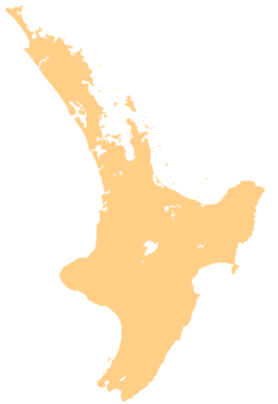
Lake Kimihia is a cool lake located in the Waikato Region of New Zealand. You can find it about 5 kilometers (or about 3 miles) northeast of a town called Huntly. It's a special type of lake known as a riverine lake, which means it's connected to a river. In this case, it's linked to the mighty Waikato River.
About Lake Kimihia
Lake Kimihia is not just any lake; it's a riverine lake. This means it's formed by or connected to a river. Imagine a part of a river that has widened out to create a lake. That's kind of how riverine lakes work! Lake Kimihia is directly connected to the Waikato River, which is one of New Zealand's longest rivers.
How the Lake Changed
Lake Kimihia has changed a lot over time. Back in the early 1940s, people started digging for coal near the lake. This was called open cast coal mining. To get to the coal, they had to change the lake quite a bit.
They built something called a cofferdam. Think of a cofferdam as a temporary wall built in the water. It helps to keep water out of an area so people can work there. This allowed miners to dig for coal right on the lakebed! Because of this, the lake became much smaller than its original size of 318 hectares.
In the 1960s, there were actually two separate lakes where Lake Kimihia is now. But over time, the lake on the western side changed. It slowly turned into a wetland. A wetland is an area of land that is covered by water, either all the time or for long periods. It's a very important habitat for many plants and animals.
What's Happening Now?
Today, the land around Lake Kimihia is mostly used for farming, with lots of fields where animals graze.
There's also a big project happening at the southern end of the lake. A new wetland area is being created there. This is because a new road, called the Huntly bypass, is being built as part of the Waikato Expressway. This new road crosses over some of the land that used to be part of the lake. Creating a new wetland helps to protect nature and provide homes for wildlife.
Images for kids
 | Claudette Colvin |
 | Myrlie Evers-Williams |
 | Alberta Odell Jones |


