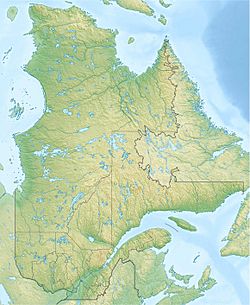
Le Gardeur Lake (Lac-Croche) facts for kids
Quick facts for kids Le Gardeur Lake |
|
|---|---|
| Location | Lac-Croche (TNO), La Jacques-Cartier Regional County Municipality, Capitale-Nationale, Quebec, Canada |
| Coordinates | 47°17′51″N 71°51′29″W / 47.2975°N 71.85806°W |
| Lake type | Natural |
| Primary inflows | (clockwise from the mouth) Sainte-Anne Ouest River and discharge of lakes Runan and Mancion. |
| Primary outflows | Sainte-Anne Ouest River |
| Basin countries | Canada |
| Max. length | 3.3 km (2.1 mi) |
| Max. width | 1.1 km (0.68 mi) |
| Surface area | 1.15 km2 (0.44 sq mi) |
| Surface elevation | 604 m (1,982 ft) |
Le Gardeur Lake is a freshwater lake in the province of Quebec, Canada. It is located in the Lac-Croche area, which is part of the La Jacques-Cartier Regional County Municipality. This lake is found in the Capitale-Nationale region, southwest of the Laurentides Wildlife Reserve.
A forest road helps people reach the southern part of the lake. Another road runs along its eastern side.
The main activity in this area is forestry, which means managing forests and harvesting trees. Recreotourism activities, like visiting for fun and relaxation, are also popular.
Le Gardeur Lake usually freezes over from early December to late March. It's generally safe to walk or play on the ice from mid-December to mid-March.
About Le Gardeur Lake
Le Gardeur Lake is about 3.3 kilometres (2.1 mi) long and 1.1 kilometres (0.68 mi) wide. Its surface is 604 metres (1,982 ft) above sea level. This lake is shaped a bit like an upside-down "U" and sits among mountains.
A long piece of land, called a peninsula, sticks out from the south shore. It stretches north for about 1.3 kilometres (0.81 mi). The lake covers an area of 1.15 square kilometres (0.44 sq mi). It collects water from an area of 16.12 hectares (39.8 acres).
How the Lake Gets and Gives Water
Le Gardeur Lake gets its water from a few places. On its northwest side, water flows in from the Sainte-Anne Ouest River. This river also brings water from Fairchild Lake. The lake also receives water from Lakes Runan and Mancion, which flow in from the northeast.
The water from Le Gardeur Lake flows out into the Sainte-Anne Ouest River. From there, the water travels a long way:
- It flows for 34.9 kilometres (21.7 mi) along the Sainte-Anne Ouest River until it meets the Neilson River.
- Then, it continues south for 35.6 kilometres (22.1 mi) through the Bras du Nord.
- Finally, it travels about 76 kilometres (47 mi) southwest along the Sainte-Anne River before reaching the Saint Lawrence River.
Name of the Lake
The name "Lac Le Gardeur" was officially recognized on December 5, 1968. This was done by the Commission de toponymie du Québec, which is the official body in Quebec responsible for naming places.
 | Kyle Baker |
 | Joseph Yoakum |
 | Laura Wheeler Waring |
 | Henry Ossawa Tanner |


