List of Indiana state historical markers in White County facts for kids
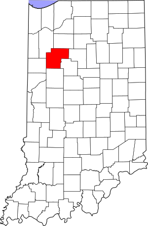
This is a list of the Indiana state historical markers in White County.
This is intended to be a complete list of the official state historical markers placed in White County, Indiana, United States by the Indiana Historical Bureau. The locations of the historical markers and their latitude and longitude coordinates are included below when available, along with their names, years of placement, and topics as recorded by the Historical Bureau. There are 4 historical markers located in White County.
Historical markers
| Marker title | Image | Year placed | Location | Topics |
|---|---|---|---|---|
| The Wolcott House |  |
1961 | 500 N. Range Street/U.S. Route 24/U.S. Route 231 on the northern edge of Wolcott 40°45′44″N 87°2′30″W / 40.76222°N 87.04167°W |
Buildings and Architecture, Business, Industry, and Labor |
| Indiana Normal [School], 1852-1886 | 1976 | Junction of S. Main and Pearl Streets in front of the community center in Burnettsville 40°45′42″N 86°35′36″W / 40.76167°N 86.59333°W |
Education | |
| Monon, Indiana |  |
1982 | Junction of U.S. Route 421/Market Street and E. Third Street in Monon 40°51′41″N 86°52′42″W / 40.86139°N 86.87833°W |
Transportation |
| Trooper Paul Vincent Minneman | 1992 | Northwestern corner of the junction of State Road 16 and County Road 1450E adjacent to the United Methodist Church, 0.5 miles west of the Cass/White county line 40°52′7″N 86°35′27″W / 40.86861°N 86.59083°W |
Government Institutions |

All content from Kiddle encyclopedia articles (including the article images and facts) can be freely used under Attribution-ShareAlike license, unless stated otherwise. Cite this article:
List of Indiana state historical markers in White County Facts for Kids. Kiddle Encyclopedia.

