List of New York State Historic Markers in Ulster County, New York facts for kids
Ulster County, New York, is a place rich in history, and you can find many special signs called historic markers all around. These markers are like outdoor history books, telling stories about important people, places, and events that happened right where you're standing. They help us remember the past and understand how our communities grew.
This article shares some of the most interesting historic markers in Ulster County, giving you a peek into its fascinating history!
Contents
- Historic Markers in Ulster County
- Esopus: Stories by the Hudson River
- Hurley: A Glimpse into the Revolution
- Kingston: New York's First Capital
- Lloyd: Founding a Community
- Marbletown: Early Settlements and Discoveries
- New Paltz: Huguenot Heritage
- Rochester: Echoes of the Past
- Rosendale: Cement and Canals
- Saugerties: Industry and Early Settlers
- Shandaken: Mountain History
- Wawarsing: Early Forts and Mills
- Woodstock: Arts, Industry, and Rebellion
- Other Important Markers
- Images for kids
- See also
Historic Markers in Ulster County
Esopus: Stories by the Hudson River
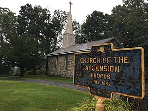
- Church of the Ascension Esopus
This church was built in 1842. It's a beautiful old building that has been part of the community for a very long time.
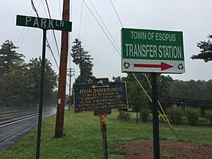
- John Burroughs
Just a short distance from here is "Slabsides," a rustic cabin where John Burroughs, a famous poet and naturalist, spent a lot of his time in the late 1800s and early 1900s. He loved nature and wrote many books about it.
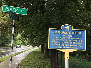
- Sojourner Truth
Sojourner Truth, a powerful speaker and activist for freedom and women's rights, was enslaved here at Martinus Schryver's Tavern from 1808 to 1810. She was born in 1797 and became a champion for human rights.
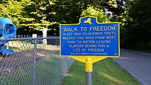
- Walk to Freedom
In October 1826, Sojourner Truth walked this very road from West Park to Rifton. She was leaving slavery behind to start a new life of freedom. This walk was a huge step in her journey to become a famous advocate for human rights.
Hurley: A Glimpse into the Revolution
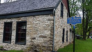
- General Washington
General George Washington, a key leader in the American Revolution, was welcomed here on November 16, 1782. He was on his way from West Point to Kingston.
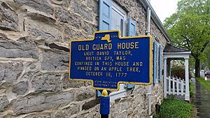
- Old Guard House
In 1777, a British spy named Lieut. David Taylor was held in this house. This shows how important Hurley was during the Revolutionary War.
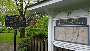
- Old Mine Road
This road was originally an Indian trail connecting the Delaware Valley with the Hudson River. It was used a lot before and during the American Revolution.
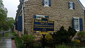
- Van Deusen House
Built in 1723, this house became the temporary capital of New York State in 1777. This happened after Kingston was burned during the Revolutionary War.
Kingston: New York's First Capital
- Plan of Kingston Stockade
This marker shows where the old Kingston Stockade (also called Wiltwyck) was located. It was a fort with streets built in 1658 to protect the early settlers.
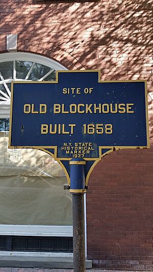
- Site of Old Blockhouse
A blockhouse, which was a small fort, was built here in 1658. It was an important part of the early defenses of Kingston.
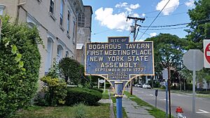
- Site of Bogardus Tavern
The New York State Assembly had its very first meeting here on September 10, 1777. This was a crucial moment in the state's history.
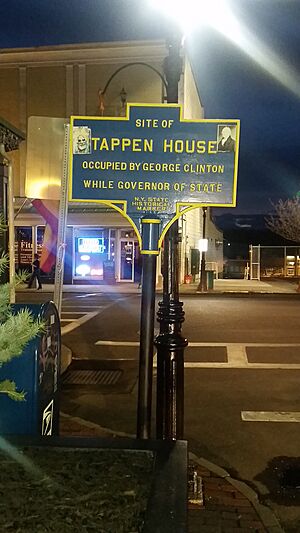
- Site of Tappen House
This was the site of the Tappen House, where George Clinton lived while he was the Governor of New York State.
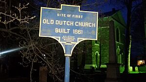
- Old Dutch Church
The first Old Dutch Church was built on this site in 1661. It's a very old and important church in the history of Kingston.
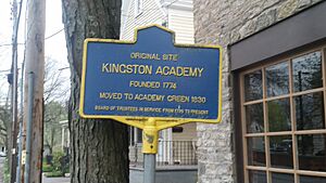
- Original Kingston Academy Site
The Kingston Academy was founded here in 1774. It was an early school that played a big role in educating the community.
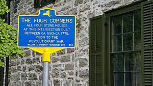
- The Four Corners
At this intersection, all four stone houses were built between about 1663 and 1775, before the Revolutionary War. It's a unique spot with a lot of history.
- Sojourner Truth at Colonel Hasbrouck House
Sojourner Truth lived here in 1828. She bravely fought to free her enslaved son, becoming the first Black woman in U.S. history to sue a slaveholder and win.
Lloyd: Founding a Community
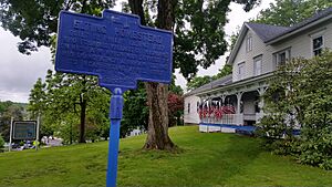
- Elting Homestead
Built in 1817 by Philip Elting, who also founded the village of Highland. His family had owned the land since 1797.
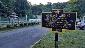
- Highland Landing
This area was a busy shipping center for over 150 years. It was known by different names like Yelverton's Landing and New Paltz Landing.
- Town Organized
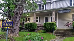
The first meeting to organize the Town of Lloyd was held here on May 6, 1845. The town was separated from New Paltz, and its population was 2035 people.
- Yelverton House
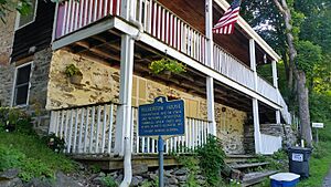
This historic house from 1754 is on both state and national registers. It was once part of a busy area with a sawmill, brickyard, and store.
Marbletown: Early Settlements and Discoveries
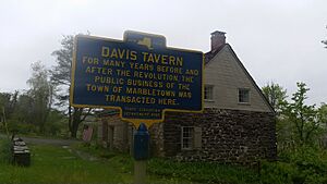
- Davis Tavern
For many years before and after the Revolution, this tavern was where the public business of Marbletown was conducted. It was a central gathering spot.
- Old Depuy House
Built in 1797 by S. and A. Depuy, this house was once a tavern. It's a reminder of the early businesses in the area.
- Oliver House
After Kingston was burned in October 1777, the New York Legislature met in the original Andrew Oliver House here for a month.
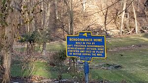
- Schoonmaker Home
Built in 1760 by Captain Frederick Schoonmaker, a Revolutionary officer. His home was fortified and used as a safe place during the war.
- Site of Colonial Church
The earliest church in this area stood here. It was organized in 1737 and built in 1746.
- Tack Tavern
This was the home of Johannes Tack, where the court met after the British burned Kingston in October 1777. The first school was also nearby.
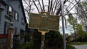
- Discovery of Cement
In 1818, Nathaniel Bruce discovered cement at Bruceville by burning some native rock in a blacksmith's forge. This was an important local discovery!
- Old Stone Aqueduct
This aqueduct was built in 1825 by the Delaware and Hudson Canal Company and completed in 1828. It was a key part of the canal system, which helped transport goods.
- Grist Mill 1762
Leonard Hardenbergh built this mill and residence in 1762. The mill provided flour for the American army during the Revolutionary War.
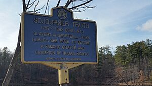
- Sojourner Truth in Rifton
Sojourner Truth, born into slavery in Swartekill (then Hurley) around 1797, became a famous speaker and champion of human rights.
New Paltz: Huguenot Heritage
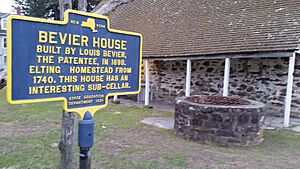
- Bevier House
Built in 1698 by Louis Bevier, one of the original settlers. This house has a unique sub-cellar.
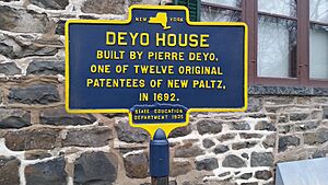
- Deyo House
Pierre Deyo, one of the twelve original founders of New Paltz, built this house in 1692.
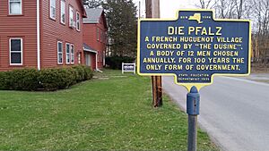
- Die Pfalz
New Paltz was a French Huguenot village governed by "The Dusine," a group of 12 men chosen each year. This was their only form of government for 100 years.
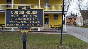
- DuBois House
This fort was built in 1705 by Daniel DuBois. It was the site of the first redoubt (a small fort), and you can still see port holes in the east end.
- Freer House
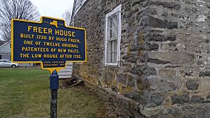
Built in 1720 by Hugo Freer, another of the original twelve founders of New Paltz.
- Hasbrouck House
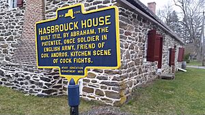
Built in 1712 by Abraham Hasbrouck, one of the founders. He was a soldier in the English army and a friend of Governor Andros.
- Jean Hasbrouck
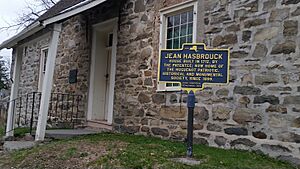
This house, built in 1712 by Jean Hasbrouck, is now home to the Huguenot Patriotic, Historical and Monumental Society.
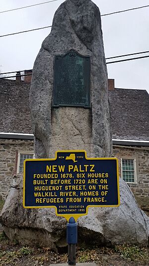
- New Paltz
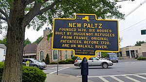
Founded in 1678, New Paltz has six houses built before 1720 on Huguenot Street. These were homes for refugees from France.
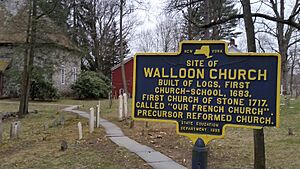
- Site of Walloon Church
The first church and school, built of logs, stood here in 1783. The first stone church was built in 1717. It was called the "Old French Church."
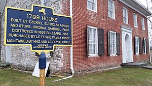
- 1799 House
Ezekiel Elting built this house in 1799 as both a home and a store. It's maintained by the Huguenot Historical Society and the Le Fevre family.
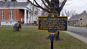
- Stone Church - 1773
The first stone church was built in 1717. Services were held in French until 1753, then in Dutch until 1800.
- Jacob Hasbrouck Jr. House
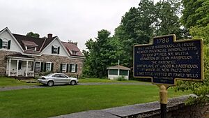
Built in 1786, this house belonged to Major Jacob Hasbrouck Jr., a member of the Provincial Congress and an officer in the New York Militia during the Revolutionary War.
- African-American Burial Ground
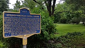
This site marks an African-American burial ground. Enslaved Africans helped build New Paltz from as early as 1673. This burial ground was used by Africans and their descendants.
- Elting Cemetery
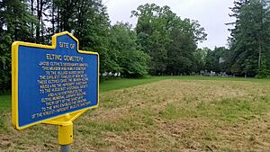
This meadow and family cemetery were donated to the village in 2017 by the descendants of Jacob Elting, one of New Paltz's earliest families.
- Dubois House (Springtown Road)
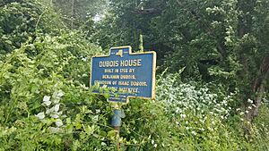
This house was built in 1755 by Benjamin Dubois, whose grandfather was one of the original founders of New Paltz.
Rochester: Echoes of the Past
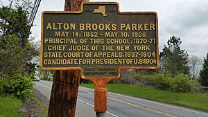
- Alton Brooks Parker
Alton Brooks Parker was the principal of this school from 1870-1871. He later became the Chief Judge of the New York State Court of Appeals and even ran for President of the U.S. in 1904.
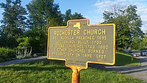
- Rochester Church
The first log church was built here in 1700. The current church is the sixth one on the same spot, showing a long history of worship in the community.
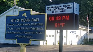
- Site of Indian Raid
In 1778, settlers fortified themselves in a colonial church that stood here and successfully fought off an attack by Native American raiders.
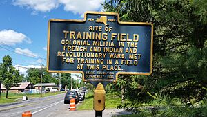
- Site of Training Field
During the French and Indian Wars and the Revolutionary War, the colonial militia met here for training.
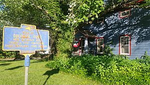
- Site of Colonial Fort
A fort once stood here on Deyo's Hill, protecting early settlers from Native American attacks.
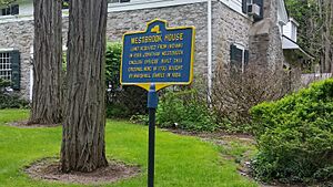
- Westbrook House
The land for this house was acquired from Native Americans in 1696. Jonathan Westbrook, an English officer, built the original part of the house in 1700.
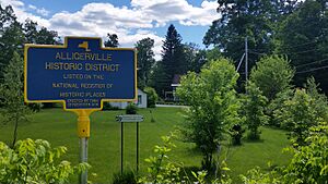
- Alligerville Historic District
This area is listed on the National Register of Historic Places, recognizing its importance in history.
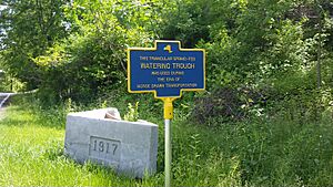
- Watering Trough
This triangular, spring-fed watering trough was used during the time of horse-drawn transportation. It was a vital spot for travelers and their animals.
Rosendale: Cement and Canals
- Creeklocks
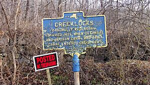
Originally called Wagendall, this area was renamed in 1825 when the Delaware and Hudson Canal was built. The canal entered the creek here.
- D. & H. Canal
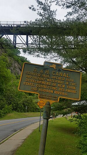
Started in 1825 and opened in 1828, the Delaware and Hudson Canal was a very important waterway. It connected the Delaware and Hudson Rivers, helping New York State grow.
- Fording Place
In October 1777, General Clinton's forces used this spot to cross the river. They were on their way from Newburgh to defend Kingston from British raiders.
- Home of Abraham Van Wagenen
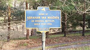
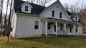
This home was built between 1725 and 1730 by Abraham Van Wagenen, one of the original settlers of the area.
- Meeting House
This Friends' Church was built in 1800. It was a place of worship for the Religious Society of Friends.
- Newkirk Tavern
Built in 1781 by Gerrit Newkirk, this was a famous inn or hotel.
- Petrus Van Wagenen
Petrus Van Wagenen, one of the first settlers of Wagendall, built this house in 1699. It was occupied by Van Wagenen families for many years.
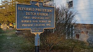
- Reformed Protestant Dutch Church
This church was first organized in 1797. After it burned down in 1846, it was rebuilt on its current location in 1847.
- Rosendale Cement
Rosendale cement was discovered here in 1826. The first commercial mill to produce it was operated by Watson E. Lawrence in the same year.
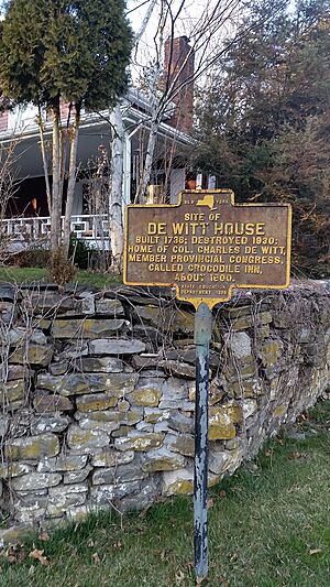
- Site of De Witt House
Built in 1736, this house was the home of Colonel Charles De Witt, a member of the Provincial Congress. It was also known as the Crocodile Inn around 1800.
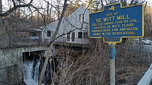
- Site of De Witt Mill
Erected around 1750 by Colonel Charles De Witt, this mill ground flour for the American army during the Revolutionary War.
- Snyder Home
The community was first settled in 1755 by Jacob Snyder. The house was built in 1788 and was home to Christopher Snyder, a Revolutionary soldier.
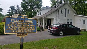
- Tillson Home
First established in 1778, this was the home of Job Tillson, who was a scout in the Revolutionary Army when he was only 12 years old! The community was named after his family.
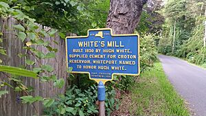
- White's Mill
Built in 1830 by Hugh White, this mill supplied cement for the Croton Reservoir. The area, Whiteport, was named in his honor.
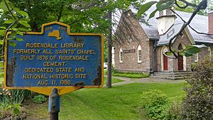
- Rosendale Library
This building, formerly All Saints' Chapel, was built in 1876 using Rosendale cement. It became a state and national historic site in 1986.
Saugerties: Industry and Early Settlers
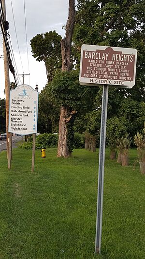
- Barclay Heights
Named for Henry Barclay (1778–1851), an early settler who founded Trinity Church. He used local water power and helped grow industries in the area.
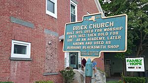
- Brick Church
Built in 1827, this church was used for worship until 1852, then sold to be an academy. Later, it became Burhans Blacksmith Shop.
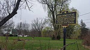
- Brink Homestead
This land has been owned continuously by the family of Cornelius Lambertsen Brink, who bought the second land grant in town in 1688. Parts of the original house still remain.
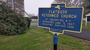
- Flatbush Reformed Church of Saugerties, N. Y.
This church was organized on June 9, 1807, and its building was erected in 1808.
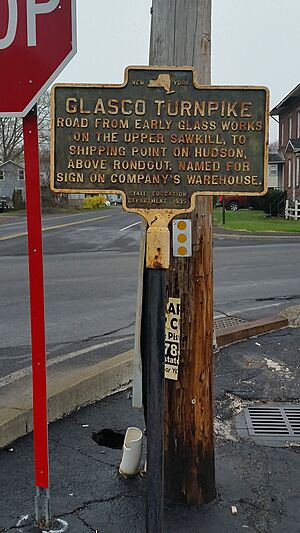
- Glasco Turnpike
This road connected early glass works on the Sawkill to a shipping point on the Hudson River. It was named after a sign on the company's warehouse.

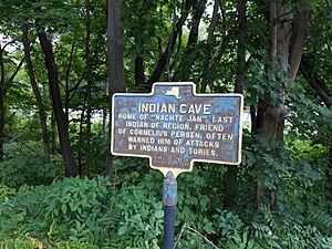
- Indian Cave
This cave was the home of "Nachte Jan," said to be the last Native American of the region. He was a friend to Cornelius Persen and often warned him of attacks.
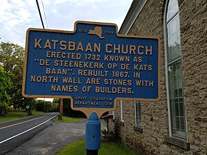
- Katsbaan Church
Erected in 1732, this church was known as "De Steenekerk op de Kats Baan." It was rebuilt in 1867.
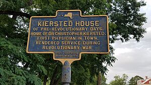
- Kiersted House
This pre-Revolutionary house was the home of Dr. Christopher Kiersted, the first physician in town, who helped during the Revolutionary War.
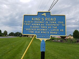
- King's Road
This is the oldest highway in town, dating back to 1703. It was first a "footpath" to Albany, then the "Queen's Highway," and later "The Old King's Road."
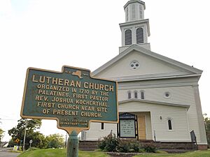
- Lutheran Church
Organized in 1710 by the Palatines, this church had Rev. Joshua Kocherthal as its first pastor.
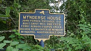
- Mynderse House
John Person, who received a land grant in 1712, built a grist mill and started a ferry here. The house was later deeded to the daughter of Myndert Mynderse.
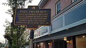
- Post Tavern Site
This tavern was a meeting place for patriots during the Revolution. The Articles of Association were signed here, and religious services were held here too.
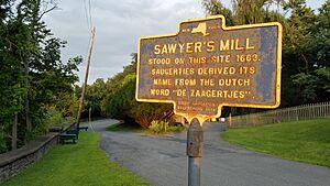
- Sawyer's Mill
A mill stood on this site in 1663. The name Saugerties comes from the Dutch words "De Zaagertjes," which means "little sawyer."
- Schoonmaker Homestead
This pre-Revolutionary house has been continuously occupied by the descendants of Elder Katsbaan Church, who was also a member of the General Committee of Articles of Association.
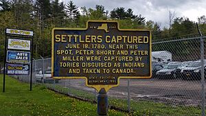
- Settlers Captured
On June 18, 1780, Peter Short and Peter Miller were captured near this spot by Tories (people loyal to the British) disguised as Native Americans and taken to Canada.
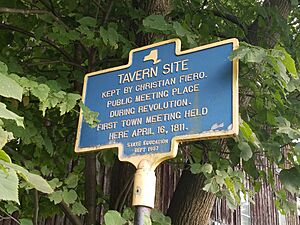
- Tavern Site
This tavern, kept by Christian Fiero, was a public meeting place during the Revolution. The first town meeting was held here on April 16, 1811.
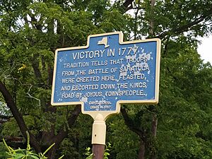
- Victory in 1777
Tradition says that troops from the Battle of Saratoga were greeted here, celebrated, and escorted down the King's Road by happy townspeople.
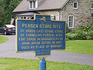
- Persen Store Site
The store of Cornelius Persen stood here. It was also a fur trade headquarters for John Jacob Astor and later used as a place of worship.
Shandaken: Mountain History
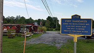
- Fort Shandaken
During the Revolutionary War, a log fort stood near this spot. It was built to defend Kingston from enemy attacks.
- Phoenicia Station
This marker celebrates the centennial (100 years) of the Ulster and Delaware Railroad, from 1899 to 1999.
Wawarsing: Early Forts and Mills
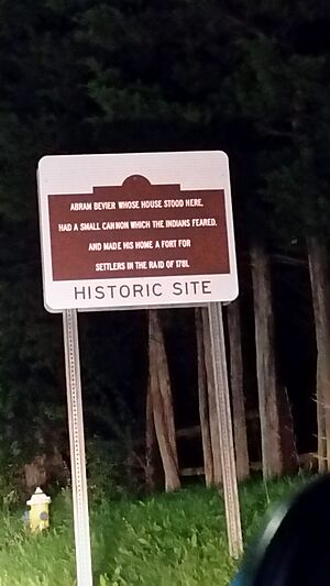
- Abram Bevier
Abram Bevier's house stood here. He had a small cannon that Native Americans feared, making his home a fort for settlers during a raid in 1781.
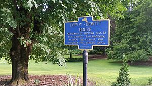
- Cornelius Depuy House
This house was attacked by Native Americans on August 12, 1781. Garret Van Wagenen, who was 16, shot the leader and scared the others away.
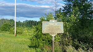
- Home of Johannes G. Hardenbergh
Built in 1762, this home was a safe place for New York records. They were stored here on October 12, 1777, before Kingston was burned by the British.
- Site of Long House
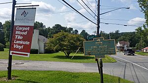
At the foot of a high bluff, an Native American council house once stood here. It was destroyed by Captain Kregier on August 31, 1663.
- Glassworks Site
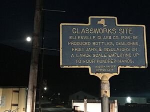
The Ellenville Glass Company operated here from 1836 to 1896. They produced bottles, large glass containers, fruit jars, and insulators, employing up to 400 people.
- DeWitt House (Napanoch)
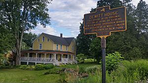
This house is built on the original cellar of Egbert de Witt's home. His daughter, Maria, was the mother of De Witt Clinton, the first governor of New York.
Woodstock: Arts, Industry, and Rebellion
- "Down Rent" War
In 1845, farmers disguised as Native Americans caused riots here. They were rebelling against unfair "three life" leases, which eventually led to the end of this system.
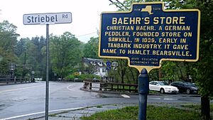
- Baehr's Store
Christian Baehr, a German peddler, founded this store on Sawkill in 1839. It was important in the early tanbark industry and gave the hamlet its name, Bearsville.
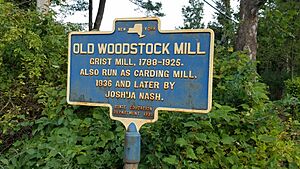
- Old Woodstock Mill
This grist mill operated from 1788 to 1925. It was also run as a carding mill (for processing wool) by Joshua Nash starting in 1836.
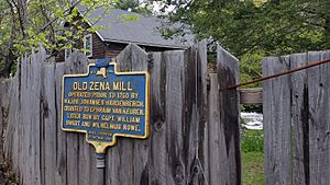
- Old Zena Mill
This mill was operated before 1750 by Major Johannes Hardenbergh. It was later run by Captain William Swart and Wilhelmus Rowe.
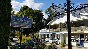
- Site of Newkirk House
This was one of the earliest houses in Woodstock. Barret Newkirk lived here in 1777, and later Jacobus Eltinge.
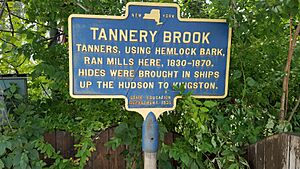
- Tannery Brook
Tanners used hemlock bark to run mills here from 1830 to 1870. Hides were brought by ships up the Hudson River to Kingston.
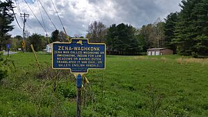
- Zena - Waghkonk
Zena was originally called Waghkonk or Awaghkonk, which is an Native American word for low meadows or marsh. The Dutch translated it to Van Daal, or Valley, and the English called it Vandale.
- Maverick Road
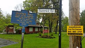
This road leads to "The Maverick," a place famous for its festivals, art, music, and simple life. It was founded in 1906.
Other Important Markers
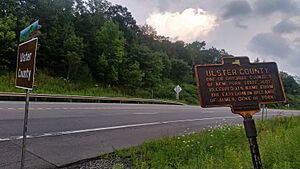
- Ulster County
Ulster County is one of the original counties of New York State, established in 1683. It was named after the Earldom in Ireland of James, Duke of York.
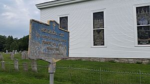
- New Hurley Reformed Church
This church was founded on November 9, 1770, and rebuilt in 1835. It's a historical site.
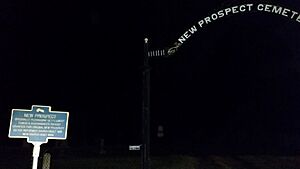
- New Prospect
Originally called Peconasink Settlement, this area was granted to Dubois and Schoonmaker in 1749. The original New Prospect Dutch Reformed Church was built in 1815.
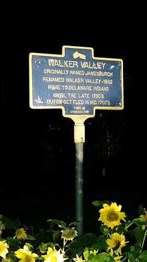
- Walker Valley
Originally named Jamesburgh, this area was renamed Walker Valley in 1862. It was home to Delaware Native Americans until the late 1700s, with Dutch settlement beginning in the mid-1700s.
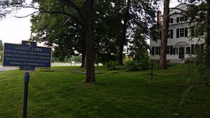
- Locust Lawn
Built for Colonel Josiah Hasbrouck in 1814, this Federal-style house was designed by local architect Cromwell of Newburgh, N.Y.
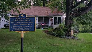
- Jenkinstown
The Jenkins-Dubois farm and mill are part of the 1688 Louis Dubois Patent. Lambert Jenkins established mills and built a stone house in 1793. The Dubois-Jenkins family still lives on the farm.
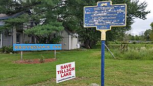
- Bruynswick
Named for settler Gertruyd Bruyn, whose 1682 deed purchasing land from the Native Americans contains the earliest use of the name "Sawankonck" (Shawangunk).
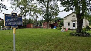
- Bruynswick School
This school, District No. 8, was built around 1840. It replaced an older school and served as a place of learning for 100 years, closing in 1943.
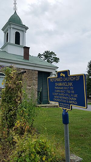
- Reformed Church of Shawangunk
The parsonage was built in 1751, and the church itself between 1752-1755. It is the oldest Reformed Church congregation still in use in America.
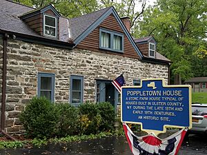
- Poppletown House
This stone farmhouse is a typical example of houses built in Ulster County during the late 18th and early 19th centuries. It is an historic site.
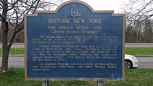
- The Senate House
This marker points to the historic Senate House in Kingston, which was built in 1676. It's a very important site in New York's history.
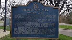
- Kingston Area
This marker highlights the historic Kingston Area, reminding travelers of the rich history of this region.
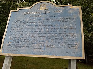
- Hudson Valley
This marker celebrates the historic Hudson Valley, a region known for its beautiful scenery and significant role in American history.
Images for kids
See also


