Little Laramie River facts for kids
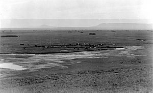
The Little Laramie River, also known as the Little Laramie, is an important river in Wyoming, a state in the United States. It is one of the largest streams that flows into the Laramie River. The Little Laramie River travels about 45.7 miles (73.5 kilometers) across the land.
This river begins when three smaller streams join together. These streams are called the North Fork, the Middle Fork, and the South Fork of the Little Laramie. The area where all the water for these streams collects is very large. It includes much of the eastern part of the Medicine Bow Mountains, also known as the Snowy Range. It also includes all the streams that flow through the Centennial Valley. After leaving the mountains, the Little Laramie River flows towards the northeast. It eventually empties its water into the Laramie River.
The North Fork of the Little Laramie
The North Fork is one of the main parts of the Little Laramie River. It starts high up in the Snowy Range mountains. Its water comes from the snow that melts on the highest peaks.
This fork flows eastward, passing by the small town of Centennial. It then joins with the main Little Laramie River. The biggest streams that flow into the North Fork are Libby Creek and the Nash Fork. These smaller creeks add more water to the North Fork as it makes its way down the mountains.
 | Calvin Brent |
 | Walter T. Bailey |
 | Martha Cassell Thompson |
 | Alberta Jeannette Cassell |


