Loch Hoil facts for kids
Quick facts for kids Loch Hoil |
|
|---|---|
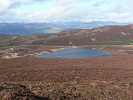
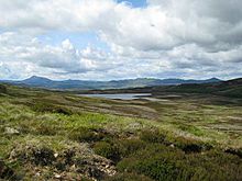
Loch Hoil from Meall Odhar. The mountains of the Beinn a' Ghlò range are on the skyline.
|
|
| Location | NN86004346 |
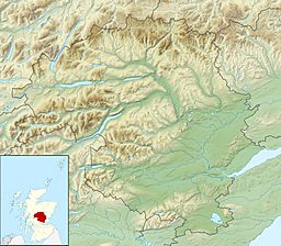
| Coordinates | 56°34′12″N 3°51′22″W / 56.56990051°N 3.85611465°W |
| Type | freshwater loch |
| Primary outflows | Cochill Burn |
| Catchment area | 114 ha (280 acres) |
| Max. length | 0.33 km (0.21 mi) |
| Max. width | 0.14 km (0.087 mi) |
| Surface area | 14 ha (35 acres) |
| Average depth | 19 ft (5.8 m) |
| Max. depth | 45 ft (14 m) |
| Water volume | 29,271,000 cu ft (828,900 m3) |
| Shore length1 | 2 km (1.2 mi) |
| Surface elevation | 496 m (1,627 ft) |
| Max. temperature | 57 °F (14 °C) |
| Min. temperature | 47 °F (8 °C) |
| Islands | 0 |
| 1 Shore length is not a well-defined measure. | |
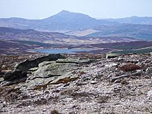
Loch Hoil is a small freshwater lochan located between the shallow hills between Strath Braan and Strath Tay valley's in Perth and Kinross. Aberfeldy is located 4.0 miles (6.4 km) to the north.
Gallery
-
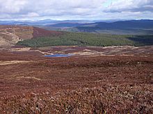
View towards Loch Hoil Looking down from the track towards Loch Hoil, with Schiehallion on the skyline to the left.

All content from Kiddle encyclopedia articles (including the article images and facts) can be freely used under Attribution-ShareAlike license, unless stated otherwise. Cite this article:
Loch Hoil Facts for Kids. Kiddle Encyclopedia.

