Lockes, Nevada facts for kids
Quick facts for kids
Lockes, Nevada
|
|
|---|---|
| Country | United States |
| State | Nevada |
| District | Nye County |
| Elevation | 4,810 ft (1,466 m) |
| Time zone | UTC-8 (Pacific) |
| • Summer (DST) | UTC-7 (PDT) |
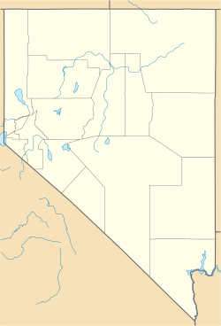
Lockes, also known as Ostorside or Ostonside, is a ghost town in eastern Nye County, Nevada. A ghost town is a place where most people have left, and it's mostly empty now. It's located on U.S. Highway 6. This old town is about 73 miles southwest of Ely, Nevada and 95 miles northeast of Tonopah, Nevada. The closest town nearby is Currant, which is 24 miles away.
History of Lockes
The area that became Lockes was first known as Keyser Springs. It was an important watering hole for travelers. The springs were located along the road between Hamilton and Reveille.
Early Settlers and the Locke Family
In 1875, a man named W. H. Reynolds claimed the land around the springs. Eight years later, in 1883, he sold it to two brothers, Eugene and Elisha Locke. Elisha moved away to Eureka in 1890.
In 1893, Eugene Locke married Sara Ernst. The town was later named after Eugene and Sara Locke.
Lockes as a Business Stop
During the 1920s, the Lockes built and ran a gas station and a restaurant. This business was very important for travelers on U.S. Highway 6. It stayed open for over 30 years. The last members of the Locke family left the area in 1963. After they left, the town became a ghost town.
See also
 In Spanish: Lockes (Nevada) para niños


