Lothair, Georgia facts for kids
Quick facts for kids
Lothair
|
|
|---|---|
| Country | United States |
| State | Georgia |
| County | Treutlen |
| Elevation | 217 ft (66 m) |
| Time zone | UTC-5 (Eastern (EST)) |
| • Summer (DST) | UTC-4 (EDT) |
| GNIS feature ID | 332268 |
Lothair is a small, quiet community located in Treutlen County, Georgia, in the United States. It is known as an unincorporated community. This means it's a group of homes and businesses that don't have their own local city government. Instead, the county government handles services like roads and public safety for Lothair.
Contents
Discover Lothair: A Georgia Community
Lothair is a unique place because it doesn't have a mayor or a city council like a typical town. It's part of the larger Treutlen County. Residents here rely on the county for many services.
Where is Lothair Located?
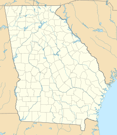
Lothair can be found along State Route 199 (SR 199) and SR 199 Spur. These are important roads that help people travel through the area. It's also a short distance north of where State Route 199 meets State Route 46.
Close to Soperton, the County Seat
Lothair is located southwest of the city of Soperton. Soperton is special because it is the county seat of Treutlen County. A county seat is the main town in a county where the county government offices are located. This means important decisions for the whole county are made in Soperton.
What is Lothair's Elevation?
Lothair sits at an elevation of 217 feet (which is about 66 meters) above sea level. Elevation tells us how high a place is compared to the ocean. This measurement helps us understand the landscape and geography of the area.
 | Victor J. Glover |
 | Yvonne Cagle |
 | Jeanette Epps |
 | Bernard A. Harris Jr. |


