Low Pass Lake facts for kids
Quick facts for kids Low Pass Lake |
|
|---|---|
| Location | Elmore County, Idaho |
| Coordinates | 43°56′47″N 115°03′00″W / 43.946408°N 115.049961°W |
| Type | Glacial |
| Primary outflows | Timpa Creek to Middle Fork Boise River |
| Basin countries | United States |
| Max. length | 0.12 mi (0.19 km) |
| Max. width | 0.09 mi (0.14 km) |
| Surface elevation | 8,920 ft (2,720 m) |
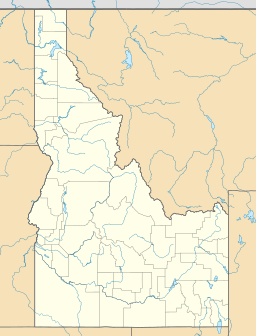
Low Pass Lake is a small, beautiful alpine lake located high in the Sawtooth Mountains of Idaho, United States. It sits within Elmore County and is part of the large Sawtooth National Recreation Area.
An alpine lake is a lake found at very high altitudes, often in mountain ranges. These lakes are usually very clear and cold, formed by glaciers long ago.
Exploring Low Pass Lake
Low Pass Lake is a peaceful spot for those who love nature. It is surrounded by the stunning scenery of the Sawtooth Mountains. The lake is quite small, measuring about 0.12 mi (0.19 km) long and 0.09 mi (0.14 km) wide.
How to Reach the Lake
You can get to Low Pass Lake by hiking. The trails are part of the Sawtooth National Forest. One way to reach it is by following trail 479 along Timpa Creek. Another path is trail 462, which passes by Lake Ingeborg.
Lake Ingeborg is not far from Low Pass Lake, about 0.30 mi (0.48 km) away. However, to get between them, you need to cross a mountain pass. This means they are in different natural drainage areas.
Being in the Sawtooth Wilderness
Low Pass Lake is located inside the Sawtooth Wilderness. A wilderness area is a special place where nature is protected and kept wild. There are very few roads or buildings here.
If you plan to visit, you will need a wilderness permit. These permits help manage the number of visitors and protect the environment. You can usually get a permit at a registration box found at the start of hiking trails or at the wilderness boundaries.


