Madre Vieja River facts for kids
Quick facts for kids Madre Vieja River |
|
|---|---|
|
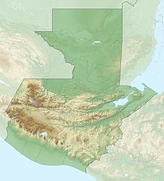
Location of mouth
|
|
| Country | Guatemala |
| Physical characteristics | |
| Main source | Guatemala (El Quiché, Sololá, Chimaltenango, Suchitepéquez) 2,400 m (7,900 ft) 14°48′16″N 91°05′43″W / 14.804343°N 91.095371°W |
| River mouth | Pacific Ocean 0 m (0 ft) 14°00′14″N 91°25′49″W / 14.003866°N 91.430283°W |
| Length | 126 km (78 mi) |
The Madre Vieja River (which means "Old Mother River" in Spanish) is an important river in southwest Guatemala. It flows from high mountains all the way to the Pacific Ocean.
Contents
About the Madre Vieja River
This river is 126 kilometers (about 78 miles) long. It starts very high up, at an elevation of 2,400 meters (about 7,874 feet). That's like starting at the top of a tall mountain!
Where the River Starts and Ends
The Madre Vieja River begins in the Sierra Madre mountain range. This area is where three different parts of Guatemala meet: El Quiché, Sololá, and Chimaltenango.
From there, the river flows south. It travels through the lower lands of Suchitepéquez and Escuintla. Finally, it reaches the Pacific Ocean, where its journey ends.
How Big is the River's Area?
The area that the Madre Vieja River and all its smaller streams drain is called its basin. This river basin covers a large territory of 1,007 square kilometers (about 389 square miles).
The river's average flow is about 8 cubic meters per second. This measurement was taken near a place called Palmira.
Learn More
- In Spanish: Río Madre Vieja para niños


