Milecastle 38 facts for kids
Quick facts for kids Milecastle 38 |
|
|---|---|

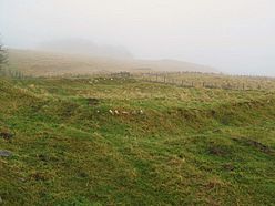
The site of Milecastle 38
|
|
| Type | Milecastle |
| Location | |
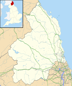
| Coordinates | 55°00′26″N 2°21′25″W / 55.007253°N 2.35684°W |
| County | Northumberland |
| Country | England |
Milecastle 38 (also known as Hotbank) was a small fort built along Hadrian's Wall in northern England. It's special because a stone found here has the names of Emperor Hadrian and Aulus Platorius Nepos. Nepos was the governor of Roman Britain when the wall was being built.
Contents
What is Milecastle 38?
Milecastle 38 is located near Hotbank Farm. Today, not much is left of this small fort. You can mostly see outlines of its old walls, which are now just piles of rubble.
Digging Up the Past: What We Found
Archaeologists dug up Milecastle 38 in 1935. They found it was about 18 meters (about 59 feet) long from east to west and 15 meters (about 49 feet) wide from north to south. It had a "short axis" design and a "Type I gateway."
Pottery found during the dig showed that people lived here into the 4th century. There was a rectangular building in the southwest corner. A stone that was once a tombstone was reused as a pivot for the south gate.
The Special Inscription Stone
Milecastle 38 is famous for a stone with an inscription. This stone has the names of Emperor Hadrian and Aulus Platorius Nepos. Nepos was the governor of Roman Britain when Hadrian's Wall was built.
The left part of the stone was found around 1715. The right part was discovered later in 1829.
The stone reads:
-
- IMP CAES TRAIAN
- HADRIANI AVG
- LEG II AVG
- APLATORIONEPOTELEGPRPR
The first two lines name Emperor Hadrian. The third line tells us that the Second Augustan Legion built this part of the wall. The last line names the governor, Aulus Platorius Nepos.
Associated Turrets

Every milecastle on Hadrian's Wall had two smaller watchtowers called turrets. These turrets were placed about one-third and two-thirds of a Roman mile to the west of the milecastle. Soldiers from the milecastle likely guarded these turrets. The turrets connected to Milecastle 38 are called Turret 38A and Turret 38B.
Turret 38A (Milking Gap)
Archaeologists found Turret 38A in 1911 during an exploration. Today, you can't see any remains of it on the surface.
Turret 38B (Highshield Crag)
Turret 38B was also found in 1911 by archaeologists. You can only see it as a raised area of ground, like an earthwork platform.
Public Access
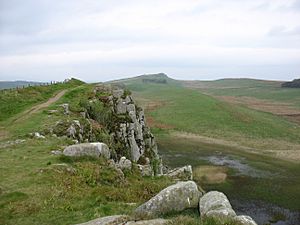
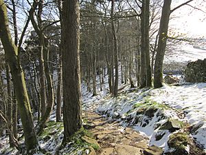
You can visit Milecastle 38 and the sites of both turrets by walking along the Hadrian's Wall Path.
 | William M. Jackson |
 | Juan E. Gilbert |
 | Neil deGrasse Tyson |


