Milligan, Indiana facts for kids
Quick facts for kids
Milligan, Indiana
|
|
|---|---|

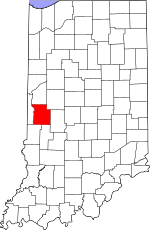
Parke County's location in Indiana
|
|
| Country | United States |
| State | Indiana |
| County | Parke |
| Township | Greene |
| Elevation | 794 ft (242 m) |
| Time zone | UTC-5 (Eastern (EST)) |
| • Summer (DST) | UTC-4 (EDT) |
| ZIP code |
47872
|
| Area code(s) | 765 |
| GNIS feature ID | 439238 |
Milligan, also known as South Waveland, is a small place in Parke County, Indiana, in the United States. It is an unincorporated community, which means it doesn't have its own local government like a city or town. Instead, it's part of a larger area called Greene Township.
History of Milligan
Milligan got its start a long time ago. In 1882, a post office was opened there. This was a very important place for people to send and receive letters and packages. The post office served the community for many years, finally closing its doors in 1957.
The community was named after a man named Joseph Milligan. He was a storekeeper in the area. It was common for early settlements to be named after important people or features nearby.
Where is Milligan Located?
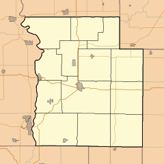
Milligan is found in the state of Indiana. It sits along Indiana State Road 236, which is a road that connects different parts of the state.
The exact location of Milligan can be described using coordinates. These are like a special address on a map. Milligan is located at 39 degrees, 50 minutes, 44 seconds North latitude and 87 degrees, 2 minutes, 18 seconds West longitude.
The land where Milligan is located is about 794 feet above sea level. This measurement tells us how high the area is compared to the ocean.
 | Laphonza Butler |
 | Daisy Bates |
 | Elizabeth Piper Ensley |


