Mount Gulaga facts for kids
Quick facts for kids Mount Gulaga |
|
|---|---|
| Mount Dromedary | |
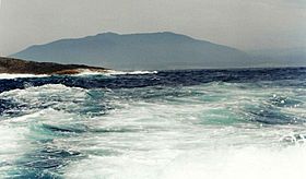
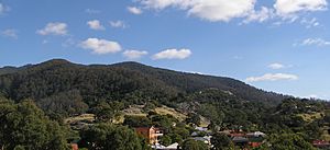
Mount Gulaga from Montague Island
|
|
| Highest point | |
| Elevation | 806 m (2,644 ft) |
| Geography | |
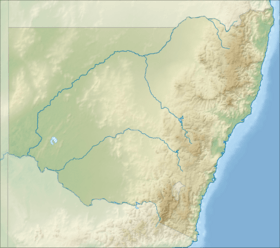
| Location | South Coast region of New South Wales, Australia |
| Geology | |
| Age of rock | Cretaceous |
| Mountain type | Monzonite igneous extinct volcano |
| Last eruption | 60 million years ago |
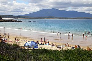
Mount Gulaga, also known as Gulaga, is a special mountain in New South Wales, Australia. It used to be called Mount Dromedary. This mountain stands tall above the village of Central Tilba. It is part of the Gulaga National Park. At its highest point, Mount Gulaga reaches 806 metres (2,644 ft) above sea level.
Contents
History of Mount Gulaga
Aboriginal Significance
For the Yuin people, who are the Indigenous Australians of this area, Gulaga is a very important place. They believe it is where their ancestors came from. Gulaga represents a mother figure and is key to their spiritual identity. The mountain and the land around it are especially important for Aboriginal women.
In May 2006, something big happened. The Gulaga National Park, which includes the former Wallaga Lake National Park, was given back to the Yuin people. This was a historic agreement between the NSW Environment Minister and the Yuin people.
European Discovery and Gold Mining
The first Europeans to see Mount Gulaga were the sailors on Captain Cook's ship, HMS Endeavour. This happened on April 21, 1770. The ship passed about 15 miles (24 km) away from the mountain. Captain Cook named it "Mount Dromedary" because its shape reminded him of a camel's hump.
In the mid-1800s, Mount Gulaga became a popular place for gold mining. The first signs of gold were found in Dignams Creek in 1852. After that, finding gold became a common activity in the area. A lot of gold was discovered in the streams flowing from Mount Gulaga's slopes. Between 1878 and 1920, about 603 kilograms (1,329 lb) of gold was found there. Near the top of Mount Gulaga, gold-rich rocks were found in 1877. These rocks, which contained Pyrite, were mined by the Mount Dromedary Gold Mining Company.
Geology of Mount Gulaga
Mount Gulaga was once an active volcano over 60 million years ago. Back then, its peak was much taller, about 3,000 metres (9,800 ft) high. Over millions of years, the Earth's surface changed, and the peak became lower. Even today, you can see the mountain from almost anywhere in the Tilba region. It is also visible from many lakes, like Wallaga Lake or Lake Corunna.
Mount Gulaga is mostly made of a type of rock called igneous rock, which formed during the Cretaceous period. The mountain rises from this rock, reaching 797 metres (2,615 ft) above sea level. The main part of the mountain is made of banatite rock, with a layer of Monzonite around its outer edge.
Activities at Gulaga National Park
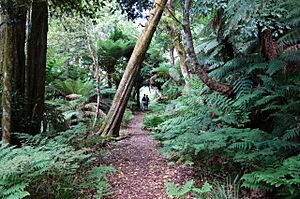
Mount Gulaga is located inside the Gulaga National Park, which covers 4,673-hectare (11,550-acre). This area is used for public activities and is also very important to the Aboriginal peoples. The national park has walking paths along old mining roads. These paths offer great views of the coastal lakes.
The hike from Tilba to the top of Mount Gulaga is about 11 kilometres (6.8 mi) long. It usually takes about half a day to finish. While some parts are steep, it's generally an easy hike. You don't need any special hiking gear.
To get to the park, you can drive about 10 kilometres (6.2 mi) north of Bermagui. If you want to explore the lakes, you can rent a boat from Regatta Point or Beauty Point.
Gallery
 | Bayard Rustin |
 | Jeannette Carter |
 | Jeremiah A. Brown |


