Mount Holmes facts for kids
Quick facts for kids Mount Holmes |
|
|---|---|
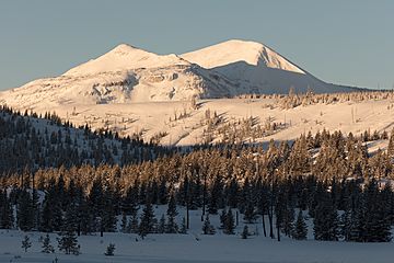
Morning light on Trilobite Point and Mt. Holmes
|
|
| Highest point | |
| Elevation | 10,336 ft (3,150 m) NAVD 88 |
| Geography | |
| Location | Yellowstone National Park, Park County, Wyoming, U.S. |
| Parent range | Gallatin Range |
| Topo map | Mount Holmes |
| Climbing | |
| Easiest route | Hike |
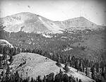
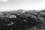
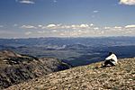
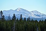
Mount Holmes is a tall and famous mountain peak found in Yellowstone National Park. It stands out as the highest mountain in the Wyoming part of the Gallatin Range. You can find Mount Holmes in the northwest area of the park. It marks the very end of the Gallatin Range to the south. This mountain is also where Indian Creek begins, which flows into the Gardner River.
Long ago, there was a special tower near the top of Mount Holmes. This tower was used to watch for forest fires. Sadly, it burned down after being hit by lightning. A historic path called the Bannock Trail also goes through the mountains close to Mount Holmes.
The Story Behind Mount Holmes' Name
Have you ever wondered how places get their names? Mount Holmes has an interesting history! On a map from 1860, made by Captain William F. Raynolds, this mountain was called Mount Gallatin.
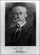
Before 1878, people often called it Mount Madison. This was because it was very close to the Madison River. But things changed in 1878. That year, Henry Gannett and a geologist named William H. Holmes climbed to the top of the peak. They were part of a group studying the area's geology. After their climb, Gannett decided to name the mountain Mount Holmes in honor of William H. Holmes.
Hiking to the Top of Mount Holmes
If you love hiking, you might be interested in reaching the summit of Mount Holmes! There is a trail called the Mount Holmes-Winter Creek trail. It is about 10.8 miles (17.4 km) long.
The starting point for this trail is near Apollonaris Spring. You can find this spot on the Mammoth-Norris section of the Grand Loop Road. It is a great way to explore the park and see amazing views from the top!
- Images of Mount Holmes
-
Mount Holmes' namesake, William H. Holmes
-
Mount Holmes (center) from Madison River, October 2010
 | Kyle Baker |
 | Joseph Yoakum |
 | Laura Wheeler Waring |
 | Henry Ossawa Tanner |


