Mount Lindesay (New South Wales) facts for kids
Quick facts for kids Mount Lindesay |
|
|---|---|
| Mount Lindsay | |
| Highest point | |
| Elevation | 1,373 m (4,505 ft) |
| Geography | |
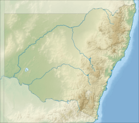
| Location | New South Wales, Australia |
| Parent range | Nandewar Range |
| Topo map | Coryah |
| Geology | |
| Mountain type | Extinct volcano |
| Climbing | |
| Easiest route | Walk (hike) |
Mount Lindesay is a mountain found in the Nandewar Range in New South Wales, Australia. Sometimes, people might mistakenly call it Mount Lindsay. This mountain was created by a very old extinct volcano called Nandewar. This volcano stopped being active about 17 million years ago. It had been erupting for about 4 million years before that.
Mount Lindesay is part of the Mount Kaputar National Park. It is located east of a town called Narrabri and west of Barraba.
About Mount Lindesay
Mount Lindesay stands at 1,373 meters (about 4,505 feet) above sea level. This measurement uses the Australian Height Datum, which is a way to measure height from a standard sea level point. The mountain is a popular spot for hiking and exploring nature.
How Mount Lindesay Got Its Name
The mountain was named by a famous explorer named Sir Thomas Mitchell. He named it after Colonel Patrick Lindesay. Colonel Lindesay was a Scottish military leader. He was in charge of the military forces in New South Wales. He also served as the acting Governor of New South Wales in 1831.
 | Victor J. Glover |
 | Yvonne Cagle |
 | Jeanette Epps |
 | Bernard A. Harris Jr. |


