Mud Lake (Mississippi–Tennessee) facts for kids
Quick facts for kids Mud Lake |
|
|---|---|
| Location | DeSoto County, Mississippi / Shelby County, Tennessee, United States |
| Coordinates | 34°59′45″N 90°12′26″W / 34.99583°N 90.20722°W |
| Basin countries | United States |
Mud Lake is an oxbow lake located in northwestern DeSoto County, Mississippi and in southwestern Shelby County, Tennessee. It was created by changes in the flow of the Mississippi River and borders Horn Lake (Tennessee) to the east.
What is an Oxbow Lake?
Mud Lake is a special kind of lake called an oxbow lake. Imagine a river that flows in big, curvy loops, like the letter "S". Over many years, the river might take a shorter path. This happens when the river cuts across the narrow neck of a loop.
When the river finds a new, straighter path, the old loop gets cut off. This isolated loop then forms a separate lake. It often has a curved shape, similar to a U or a C. This shape reminds people of the U-shaped collar (an "oxbow") used on an ox.
Where is Mud Lake Located?
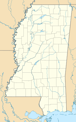
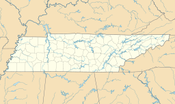
Mud Lake is found in the United States. It sits right on the border between two states: Mississippi and Tennessee. Specifically, it is in the northwestern part of DeSoto County, Mississippi. It is also in the southwestern part of Shelby County, Tennessee.
The lake is very close to another lake called Horn Lake (Tennessee). Horn Lake is located just to the east of Mud Lake. This area is known for its many lakes and waterways.
How Mud Lake Was Formed
Mud Lake was formed a long, long time ago by the mighty Mississippi River. Rivers like the Mississippi naturally change their paths over many years. They do this by eroding the land on one side of a bend. At the same time, they deposit sediment on the other side.
Eventually, a large bend in the river can get cut off. This creates a new, separate lake. This is exactly how Mud Lake came to be. It is a leftover piece of the river's old path. This process shows how powerful and ever-changing rivers can be.


