
Mérida (state) facts for kids

Mérida State is one of the 23 states in Venezuela. Its capital city is Mérida. This state covers about 11,300 square kilometers (4,363 square miles). In 2007, it had an estimated population of 843,800 people. Mérida State is known for its beautiful mountains, cool climate, and rich natural areas.
Contents
What is Mérida State Like?

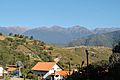
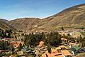
Mérida State is located in the Andes mountains, which means it has a lot of tall peaks and deep valleys. The capital city, Mérida, is a lively place with universities and a famous cable car that goes up into the mountains. The state is divided into smaller areas called municipalities, each with its own main town. For example, the capital city of Mérida is located in the Libertador Municipality.
Nature and Geography
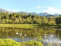
Mérida State is a true natural wonderland. It has many rivers, lagoons, and national parks that protect its amazing landscapes and wildlife.
Rivers and Lagoons
The state's water flows into two main areas: the Orinoco River basin, which leads to the Atlantic Ocean, and the Lake Maracaibo basin, which leads to the Caribbean Sea.
Important rivers in the Orinoco River basin include the Santo Domingo, Canaguá, and Escagüey. In the Lake Maracaibo basin, you'll find rivers like the Chama, Motatán, and Mocotíes. The Chama River is especially important because it provides a lot of water for Venezuela.
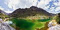
Mérida State is also famous for its many beautiful mountain lagoons, which are like small lakes. Some of these include La Mucuy, Los Patos, Negra, Mucubaji, Santo Cristo, and La Carbonera. These lagoons are often found high up in the mountains and are very scenic.
National Parks

To protect its unique environment, Mérida State has several national parks. These are large areas of land set aside to preserve nature and wildlife. They include:
- Sierra Nevada National Park
- Paramo Batallon – La Negra National Park
- Sierra de la Culata National Park
- Tapo-Caparo National Park
Natural Monuments
Besides national parks, there are also "natural monuments," which are specific natural sites with special beauty or importance. Some of these are:
- Chorrera de La González (a waterfall)
- Laguna de Urao (a unique lagoon)
- Meseta la Galera (a flat-topped mountain)
- Hot springs in Chiguara, Jají, Tabay, and Valle de la Quebrada de las Tapias.
- El Velo de la Novia (a waterfall, meaning "The Bride's Veil").
- Parque Natural Cascada De La India Carú (a waterfall park).
- Parque Natural Cascada El Guayabal (another waterfall park).
- Laguna de Mucubají or Laguna Grande (a large, famous lagoon).
- Laguna Negra (Black Lagoon).
- Collado del Cóndor (Pico El Águila) (a high mountain pass).
- Pico Espejo (a mountain peak with great views).
- Pico Mucuñuque (another mountain peak).
- Balneario de Palmarito (a bathing area).
Climate and Plants

The climate in Mérida State can change a lot, even in one day! While the overall climate is cool, temperatures vary greatly depending on how high you are. In Mérida city, it's usually around 19°C to 20°C (66-68°F). But at El Bolívar Peak, temperatures can drop to 5°C to 9°C (41-48°F), or even below freezing when it snows. In warmer areas like El Vigía, it can be around 28°C (82°F). It often rains in the late afternoon during January and February (the coldest months), and at night in August and September.
The state is full of lush plants and trees. The "Bucare" is the state tree, and the "Frailejón" is the state flower. You can also find the "Coloradito" tree, which grows at the highest altitude of any tree in the world!
Animals
Mérida's mountains are home to special animals. The "Oso Frontino" (Andean bear) lives here, and the majestic Condor soars through the skies above the high plains (páramos). Many of the lagoons are also filled with trout, which is a popular local delicacy.
Images for kids
-
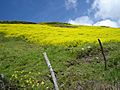
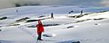
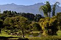
Landscape in the state of Merida
-
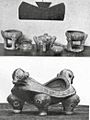
Plaque and ceramics of the Nikitao and Cuica tribes
-
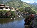
Los Aleros, Mérida
-
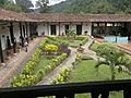
Colonial Hacienda of La Victoria
-
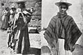
Native women from Mucuchíes, Venezuela
-
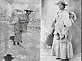
Native people from Mucuchíes, Venezuela
-
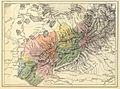
Mérida Province in 1840
-
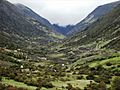
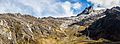
Gavidia Valley
-
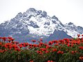
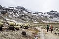
Snow in the Pico Humboldt.
-
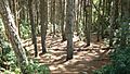
Forest in Mérida.
-
Chama River
-
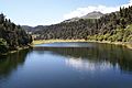
Victoria Lagoon, Mérida
-
La Coromoto Lagoon
-
Tabay, Mérida State
-
El Valle, Mérida State
-
Apartaderos, Mérida
-
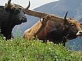
Cattle in the state of Merida
-

Agriculture in Los Nevados, a town in Merida
-
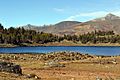
Mucubaji Lagoon, Mérida
-
Pico Bolivar, the highest mountain in Venezuela
-
Humboldt Peak, Sierra Nevada of Mérida
-
Mifafí Valley
-
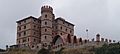
San Ignacio Castle, Mérida State
-
Catholic Church in La Azulita, Mérida
-
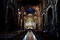
Mérida Cathedral
-
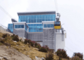
Mérida Cable Car
-
Aula Magna, University of Los Andes (ULA)
-
Los Andes University Botanical Garden
-
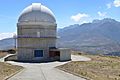
Llano del Hato National Observatory
-
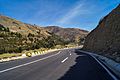
Road in the municipality of Rangel
-
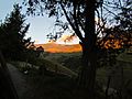
View from Via Canagua - El Molino
-
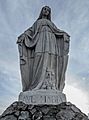
Monument to Our Lady of the Snows at Espejo Peak
-
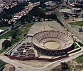
Plaza de Toros Román Eduardo Sandia, Mérida
-
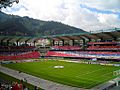
Metropolitan Stadium of Mérida
-
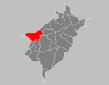
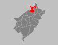
Map of Alberto Adriani municipality
-
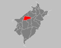
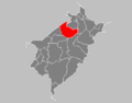
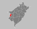
Map of Andrés Bello municipality
-
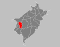
Map of Antonio Pinto Salinas municipality
-
Map of Aricagua municipality
-
Map of Arzobispo Chacón municipality
-
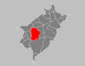
Map of Campo Elías municipality
-
Map of Caracciolo Parra Olmedo municipality
-
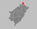
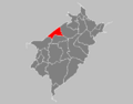
Map of Cardenal Quintero municipality
-
Map of Guaraque municipality
-
Map of Julio César Salas municipality
-
Map of Justo Briceño municipality
-
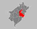
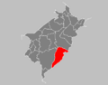
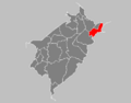
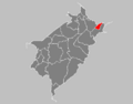
Map of Libertador municipality
-
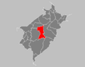
Map of Miranda municipality
-
Map of Obispo Ramos de Lora municipality
-
Map of Padre Noguera municipality
-
Map of Pueblo Llano municipality
-
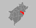
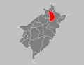
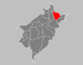
Map of Santos Marquina municipality
-
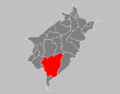
Map of Sucre municipality
-
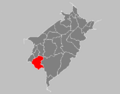
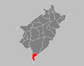
Map of Tovar municipality
-
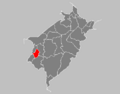
Map of Tulio Febres Cordero municipality
-
Map of Zea municipality


-_Venezuela_Tabay.JPG)


See also
 In Spanish: Estado Mérida para niños
