
States of Venezuela facts for kids

Venezuela is a country in South America. It is divided into different parts to help manage it. These parts include 23 states, a special area called the Capital District, and many islands known as the Federal Dependencies. Venezuela also says that the Guayana Esequiba territory belongs to it, but this area is currently part of the independent country of Guyana.
Contents
States of Venezuela
Venezuela has 23 states. Each state has its own capital city and unique features. These states are like different regions within the country, each with its own local government. For example, Amazonas is a large state in the south, while Carabobo is a smaller, more populated state in the central region.
Special Areas
Besides the states, Venezuela has two other important areas:
The Capital District
The Capital District is where the capital city of Venezuela, Caracas, is located. It's a special area because it's not part of any state. It's like the heart of the country where the main government buildings are.
Federal Dependencies
The Federal Dependencies are a group of many islands and small land areas belonging to Venezuela. They are mostly in the Caribbean Sea. These islands are not part of any state and are managed directly by the national government. One well-known island group among them is Los Roques.
Images for kids
-
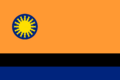
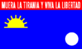
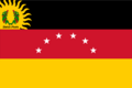
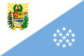
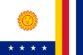
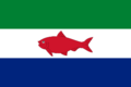
Flag of Amazonas State
-
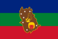
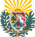
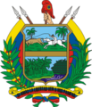
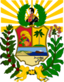
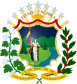
Coat of Arms of Anzoátegui
-
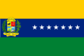
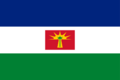
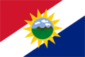
Flag of Anzoátegui State
-
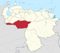
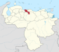
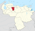
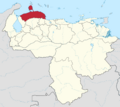
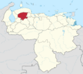
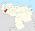
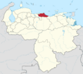
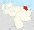
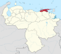
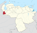
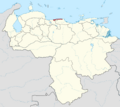
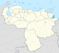
Location of Anzoátegui in Venezuela
-
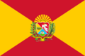
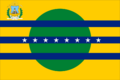
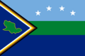
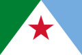
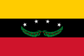
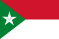
Flag of Apure State
-
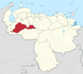
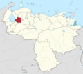
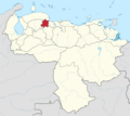
Location of Apure in Venezuela
-
Flag of Aragua State
-
Coat of Arms of Aragua
-
Location of Aragua in Venezuela
-
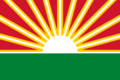
Flag of Barinas State
-
Location of Barinas in Venezuela
-
Flag of Bolívar State
-
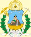
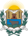
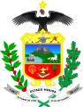
Coat of Arms of Bolívar
-
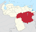
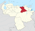
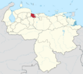
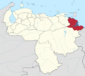
Location of Bolívar in Venezuela
-
Flag of Carabobo State
-
Location of Carabobo in Venezuela
-
Flag of Cojedes State
-
Location of Cojedes in Venezuela
-
Flag of Delta Amacuro State
-
Location of Delta Amacuro in Venezuela
-
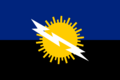
Flag of Falcón State
-
Location of Falcón in Venezuela
-
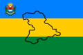
Coat of Arms of Guárico
-
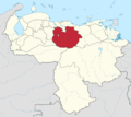
Location of Guárico in Venezuela
-
Flag of Lara State
-
Location of Lara in Venezuela
-
Flag of Mérida State
-
Coat of Arms of Mérida
-
Location of Mérida in Venezuela
-
Flag of Miranda State
-
Location of Miranda in Venezuela
-

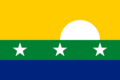
Flag of Monagas State
-
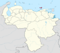
Location of Monagas in Venezuela
-
Flag of Nueva Esparta State
-
Location of Nueva Esparta in Venezuela
-
Flag of Portuguesa State
-
Location of Portuguesa in Venezuela
-
Flag of Sucre State
-
Coat of Arms of Sucre
-
Location of Sucre in Venezuela
-
Flag of Táchira State
-
Coat of Arms of Táchira
-
Location of Táchira in Venezuela
-
Flag of Trujillo State
-
Location of Trujillo in Venezuela
-
Flag of Vargas State
-
Location of Vargas in Venezuela
-
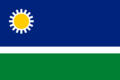
Flag of Yaracuy State
-
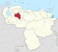
Location of Yaracuy in Venezuela
-
Flag of Zulia State
-
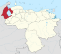
Location of Zulia in Venezuela
-
Flag of Caracas
-
Coat of Arms of Caracas
-

Location of Capital District in Venezuela
-
Flag of Federal Dependencies of Venezuela
-
Location of Federal Dependencies in Venezuela


See also
 In Spanish: Anexo:Entidades federales de Venezuela para niños
