Naranjito, Hatillo, Puerto Rico facts for kids
Quick facts for kids
Naranjito
|
|
|---|---|
|
Barrio
|
|
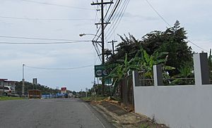
On PR-487 near PR-488 and PR-130
|
|
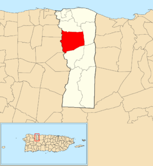
Location of Naranjito within the municipality of Hatillo shown in red
|
|
| Commonwealth | |
| Municipality | |
| Area | |
| • Total | 5.14 sq mi (13.3 km2) |
| • Land | 5.13 sq mi (13.3 km2) |
| • Water | 0.01 sq mi (0.03 km2) |
| Elevation | 381 ft (116 m) |
| Population
(2010)
|
|
| • Total | 4,050 |
| • Density | 789.5/sq mi (304.8/km2) |
| Source: 2010 Census | |
| Time zone | UTC−4 (AST) |
Naranjito is a small, rural area located in the municipality of Hatillo, Puerto Rico. It's a type of local division known as a barrio. In 2010, about 4,050 people lived here.
A Look at Naranjito's Past
Naranjito has a history tied to the larger story of Puerto Rico. After the Spanish–American War in 1898, Spain gave Puerto Rico to the United States. This made Puerto Rico an unincorporated territory of the U.S.
In 1899, the U.S. government took a count of everyone living in Puerto Rico. They found that 966 people lived in Naranjito barrio at that time. Over the years, Naranjito's population has grown. By 2010, it had reached 4,050 residents.
Exploring Naranjito Through Pictures
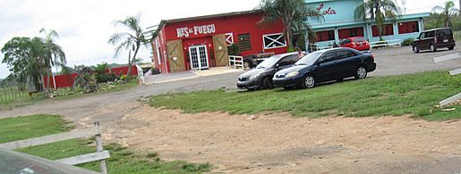
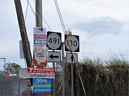
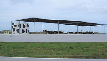
You can see some views of Naranjito and the surrounding area along PR-130 in Hatillo:
See also
Black History Month on Kiddle
Famous African-American Inventors:
 | Shirley Ann Jackson |
 | Garett Morgan |
 | J. Ernest Wilkins Jr. |
 | Elijah McCoy |

All content from Kiddle encyclopedia articles (including the article images and facts) can be freely used under Attribution-ShareAlike license, unless stated otherwise. Cite this article:
Naranjito, Hatillo, Puerto Rico Facts for Kids. Kiddle Encyclopedia.


