National Register of Historic Places listings in Butler County, Pennsylvania facts for kids
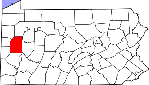
Have you ever wondered about the old buildings and special places in your community? In Butler County, Pennsylvania, there are many historic sites that are so important, they've been added to a special list called the National Register of Historic Places. This list helps protect and celebrate places that tell us about the past. These sites could be old homes, courthouses, or even whole neighborhoods. They teach us about the people and events that shaped Butler County and the United States. There are 12 amazing places in Butler County on this list, and one of them is even more special, called a National Historic Landmark District!
Historic Places in Butler County
Butler County is home to many fascinating places that have a rich history. These sites are recognized for their importance in telling the story of the area.
Important Buildings
Many individual buildings in Butler County have been preserved because of their historical value.
Butler Armory
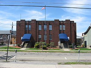
The Butler Armory is located at 216 North Washington Street in Butler. An armory is a place where military groups train and store equipment. This building was added to the National Register of Historic Places on July 12, 1991. It stands as a reminder of the area's military history.
Butler County Courthouse
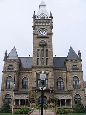
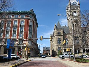
You can find the Butler County Courthouse at South Main and Diamond Streets in Butler. This impressive building is where important legal decisions for the county are made. It was recognized as a historic place on September 15, 1977. Its architecture and role in local government make it a key landmark.
Butler County National Bank
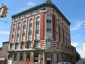
The Butler County National Bank building is at 302 South Main Street in Butler. This building once served as a major financial center for the community. It was added to the National Register on November 7, 1995, showing its importance in the economic history of the county.
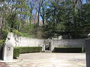
Elm Court
Elm Court is a historic property located between Polk and Elm Streets in Butler. This unique site was listed on the National Register of Historic Places on December 6, 1979. It represents a significant piece of residential history in the area.
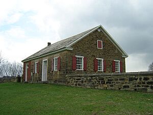
Harmony Mennonite Meetinghouse and Cemetery
This historic site is located at 114 Wise Road in Jackson Township. It includes both a meetinghouse, which is a place of worship, and a cemetery. It was added to the National Register on October 4, 2016, highlighting its importance to the religious and community history of the region.
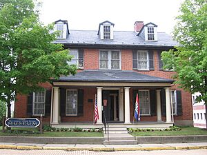
Sen. Walter Lowrie House
The Sen. Walter Lowrie House is found at West Diamond and South Jackson Streets in Butler. This was the home of Senator Walter Lowrie, an important political figure. It was listed on the National Register on May 1, 1979, preserving the memory of a key person in Pennsylvania's past.
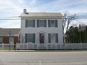
Passavant House
The Passavant House is located at 243 South Main Street in Zelienople. This house holds historical significance for the community of Zelienople. It was added to the National Register of Historic Places on April 11, 1977.
Preston Laboratories
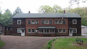
Preston Laboratories is located at 415 South Eberhart Road, just west of Butler in Butler Township. This site is important for its contributions to science and industry. It was listed on the National Register on December 26, 2012.
John Roebling House
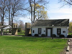
The John Roebling House is found in Roebling Park, along Rebecca Street in Saxonburg. This was the home of John Roebling, a famous engineer who designed the Brooklyn Bridge. The house was added to the National Register on November 13, 1976, honoring his legacy.
Historic Districts
Sometimes, a whole area or neighborhood is considered historic because of its unique character and many old buildings. These are called historic districts.
Butler Historic District
The Butler Historic District covers a large area in Butler, roughly bounded by North Church, Walnut, Franklin, and Wayne Streets. This district includes many buildings that together tell the story of Butler's development. It was listed on the National Register on May 29, 2003.
Harmony Historic District
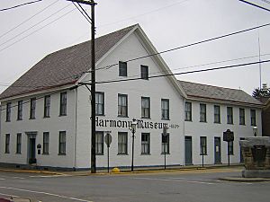
The Harmony Historic District is located along Pennsylvania Route 68 in Harmony. This district is especially important because it's also a National Historic Landmark District, meaning it has exceptional national significance. It was added to the National Register on March 21, 1973. The district showcases the unique history of the Harmony community.
Saxonburg Historic District
The Saxonburg Historic District includes parts of East and West Main, North and South Rebecca, North and South Isabella, Pittsburgh, Butler, and State Streets in Saxonburg. This district preserves the historic layout and buildings of the town. It was listed on the National Register on February 14, 2003.


