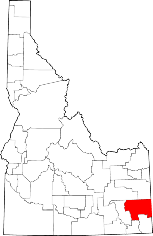
National Register of Historic Places listings in Caribou County, Idaho facts for kids
Caribou County, Idaho, is home to several amazing places that are listed on the National Register of Historic Places. This special list is kept by the United States government. It helps protect important buildings, sites, and objects that tell us about the history of our country. When a place is on this list, it means it is very special and worth preserving for future generations.
In Caribou County, there are 8 properties and areas that have been added to the National Register. These places help us learn about the pioneers, the early days of towns, and how people lived and worked long ago. Exploring these sites is like taking a trip back in time!
Contents
Discovering Caribou County's Historic Treasures
Caribou County has many interesting spots that have been recognized for their historical importance. These sites include old buildings, parts of towns, and even old roads. Each one has a unique story to tell about the past.
Caribou County Courthouse
The Caribou County Courthouse is located in Soda Springs. It was built a long time ago and is where the local government does its work. Courthouses are often important buildings in a town. They show how communities grew and organized themselves. This courthouse was added to the National Register in 1987.
Chesterfield Historic District
The Chesterfield Historic District is a whole town that is considered historic! Chesterfield is a small community that was settled by pioneers. Many of its original buildings are still standing. These include homes, a meeting house, and other structures that show what life was like in the late 1800s. Walking through Chesterfield is like stepping into a living history museum. It was listed on the National Register in 1980.
Enders Hotel
The Enders Hotel is another historic building in Soda Springs. Hotels were very important in the past. They provided places for travelers to stay and rest. This hotel tells us about the people who traveled through Soda Springs and how the town grew as a stopping point. It was added to the National Register in 1993.
Grace Pegram Truss Railroad Bridge
The Grace Pegram Truss Railroad Bridge is a special kind of bridge. It crosses the Bear River near Grace. This bridge is important because of its unique design, called a "truss" design. It shows how engineers built strong structures for trains to cross rivers many years ago. It became a historic site in 1997.
Lander Road
The Lander Road is not a building, but an old road! It is located northeast of Soda Springs in the Caribou National Forest. This road was part of an important trail used by pioneers traveling west across the country. It played a big role in the history of westward expansion in the United States. The Lander Road was added to the National Register in 1975.
Other Historic Places in Soda Springs
Several other buildings in Soda Springs are also on the National Register. These include the William Hopkins House, the Edgar Walter Largilliere, Sr. House, and the Soda Springs City Hall. Each of these buildings has its own story. They help us understand the history and development of Soda Springs as a town.
Why These Places Matter
Protecting these historic places is very important. They are like clues from the past that help us understand where we came from. By preserving them, we can learn about the challenges and successes of people who lived long ago. These sites also help us appreciate the unique history and culture of Caribou County and Idaho.
Images for kids


