National Register of Historic Places listings in Frederick County, Virginia facts for kids
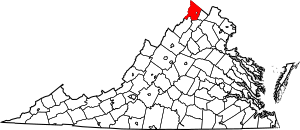
Welcome to Frederick County, Virginia! This area is home to many special places that are listed on the National Register of Historic Places. Think of this register as a special list of buildings, sites, and objects that are important to the history of the United States. These places are recognized for their historical value and are often protected so future generations can learn from them.
Frederick County has 29 places on this important list. One of them, the Cedar Creek Battlefield, is even more special because it's a National Historic Landmark. This means it's one of the most important historic places in the entire country! Let's explore some of these fascinating sites.
Contents
Discovering Frederick County's Historic Places
What is the National Register?
The National Register of Historic Places is the official list of the nation's historic places worth saving. It's like a hall of fame for buildings, battlefields, and other sites that tell important stories about our past. When a place is added to this list, it means it's recognized for its historical, architectural, or archaeological importance. This helps to preserve these special spots for everyone to enjoy and learn from.
Famous Historic Sites in Frederick County
Frederick County is full of history, from famous authors' homes to important Civil War battlefields. Here are some of the cool places you can find on the National Register here:
Willa Cather's Birthplace
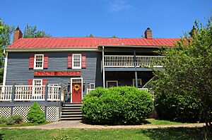
The Willa Cather Birthplace is where a famous American writer, Willa Cather, was born. She wrote many popular books about life on the American frontier. This house in Gore, Virginia, is a reminder of her early life.
Cedar Creek Battlefield: A Landmark
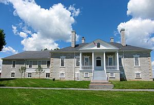
The Cedar Creek and Belle Grove National Historical Park is a very important place. It was the site of the Battle of Cedar Creek during the American Civil War in 1864. This battle was a major event, and the park helps us remember the soldiers and events of that time. The Belle Grove Manor House is also part of this historic site.
Oldest Homes and Forts
Frederick County has some really old buildings that tell stories of early settlers.
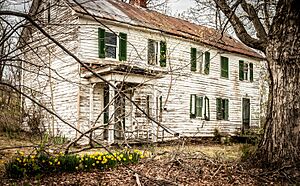
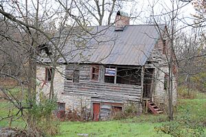
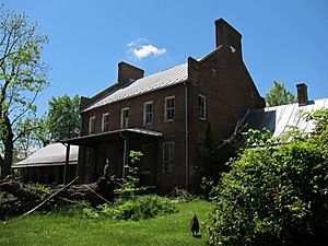
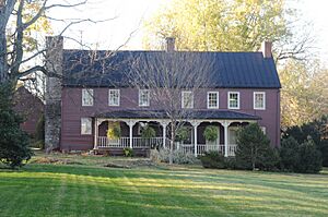
- The John Hite House in Bartonsville is the oldest house in the county! It was built way back in 1753 for Colonel John Hite, whose father was an early pioneer.
- Fort Collier in Winchester was an important fort during the Civil War. It played a role in the battles around Winchester.
- Fort Colvin is another historic fort located in Winchester. These forts show us how people protected themselves long ago.
Important Meeting Places
Churches and meeting houses often served as central points for communities in the past.
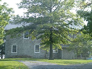
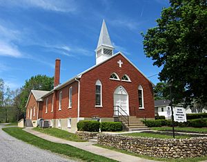
- The Hopewell Friends Meetinghouse near Clear Brook is a historic place of worship for the Quakers, a religious group known for their peaceful beliefs. It has been a gathering place for a long time.
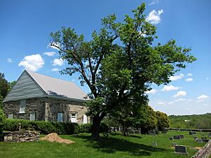
- The Old Stone Church in White Hall is another historic church, showing the early religious life of the area.
- The Opequon Presbyterian Church in Winchester has a long history, first built in 1736! It has been rebuilt and restored many times over the centuries.
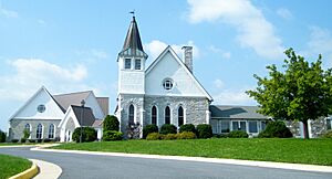
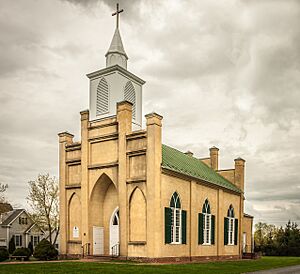
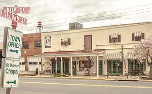
- St. Thomas Chapel in Middletown is also a significant historic church.
Farms and Mills with History
Many historic places in Frederick County were once working farms or mills, essential for daily life.
- The Frederick County Poor Farm in Round Hill was a place where people who needed help could live and work. It shows a different side of history, about how communities cared for their members.
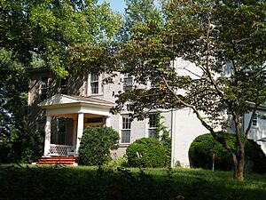
- Old Forge Farm in Middletown has a very interesting past. It was first known as Stephen's Fort, built for protection during the French and Indian War. Later, it became a major factory making supplies for the American army during the American Revolutionary War! It also had a gristmill that operated for a very long time.
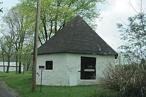
- The Springdale Mill Complex in Bartonsville includes a limestone flour mill built in 1788. Mills like this were vital for grinding grain into flour for food.
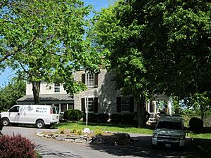
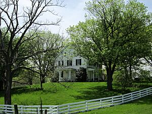
- Many other farms like Cleridge, Crumley-Lynn-Lodge House, High Banks, Homespun, Long Meadow, Millbank, Monte Vista, Rose Hill Farm, Sunrise, Thorndale Farm, and Valley Mill Farm are also on the list. These places show the rich farming history of Frederick County.
Historic Districts
Sometimes, not just one building, but a whole area is important. These are called historic districts.
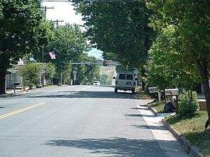
- The Middletown Historic District includes many buildings in the town of Middletown.
- The Newtown-Stephensburg Historic District covers a significant part of Stephens City.
- The Opequon Historic District is another area recognized for its historical importance.
These districts help preserve the overall look and feel of historic towns and communities.
Frederick County is truly a place where history comes alive through its many preserved sites. Each one tells a unique story about the people and events that shaped this part of Virginia and the United States.
Images for kids


