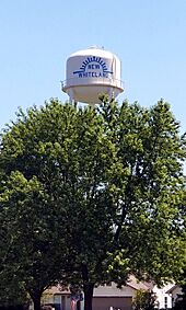
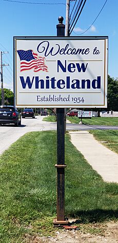
New Whiteland, Indiana facts for kids
Quick facts for kids
New Whiteland, Indiana
|
|
|---|---|
 |
|

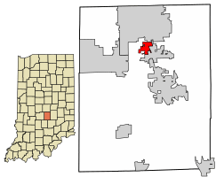
Location of New Whiteland in Johnson County, Indiana
|
|
| Country | United States |
| State | Indiana |
| County | Johnson |
| Township | Pleasant |
| Area | |
| • Total | 1.45 sq mi (3.76 km2) |
| • Land | 1.45 sq mi (3.76 km2) |
| • Water | 0.00 sq mi (0.00 km2) |
| Elevation | 801 ft (244 m) |
| Population
(2020)
|
|
| • Total | 5,550 |
| • Density | 3,819.68/sq mi (1,474.81/km2) |
| Time zone | UTC-5 (Eastern (EST)) |
| • Summer (DST) | UTC-4 (EDT) |
| ZIP code |
46184
|
| Area code(s) | 317 |
| FIPS code | 18-53874 |
| GNIS feature ID | 2396810 |
New Whiteland is a small town located in Johnson County, Indiana, in the United States. It's part of Pleasant Township. In 2020, about 5,550 people lived there.
Contents
History of New Whiteland
New Whiteland started to grow when a major road, US 31, was built through the area. The town was officially created, or incorporated, in 1954. This means it became its own legal town with its own local government.
A very cold day happened in New Whiteland on January 19, 1994. The temperature dropped to -36°F (-38°C). This was the coldest temperature ever recorded in the state of Indiana!
Geography and Location
New Whiteland covers an area of about 1.46 square miles (3.76 square kilometers). All of this area is land, meaning there are no large lakes or rivers within the town's borders.
Population and People
| Historical population | |||
|---|---|---|---|
| Census | Pop. | %± | |
| 1960 | 3,488 | — | |
| 1970 | 4,200 | 20.4% | |
| 1980 | 4,502 | 7.2% | |
| 1990 | 4,097 | −9.0% | |
| 2000 | 4,579 | 11.8% | |
| 2010 | 5,472 | 19.5% | |
| 2020 | 5,550 | 1.4% | |
| U.S. Decennial Census | |||
The town's population has grown over the years. In 2010, there were 5,472 people living in New Whiteland. The town is home to a mix of people from different backgrounds. The average age of people in New Whiteland in 2010 was about 33.7 years old. Many families with children live in the town.
Education in New Whiteland
Students in New Whiteland attend schools that are part of the Clark-Pleasant Community School Corporation. These schools include:
- Break-O-Day Elementary School, which is right in New Whiteland.
- Clark-Pleasant Middle School, located in nearby Greenwood.
- Whiteland Community High School, located in Whiteland.
New Whiteland also has a public library. It's a branch of the Johnson County Public Library, where you can find books, computers, and other resources.
See also
 In Spanish: New Whiteland (Indiana) para niños
 | Roy Wilkins |
 | John Lewis |
 | Linda Carol Brown |


