Normandie, New Jersey facts for kids
Quick facts for kids
Normandie, New Jersey
|
|
|---|---|

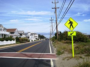
Along Route 36 at Willow Way
|
|
| Country | |
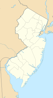
| State | |
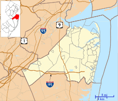
| County | Monmouth |
| Borough | Sea Bright |
| Elevation | 10 ft (3 m) |
| GNIS feature ID | 882521 |
Normandie is a small community in New Jersey, located in Monmouth County. It's part of a town called Sea Bright. An "unincorporated community" means it's a recognized place but doesn't have its own separate local government.
Normandie is one of the main developed areas within Sea Bright. It sits on a narrow strip of land. On one side is the Shrewsbury River, and on the other is the big Atlantic Ocean.
Location and History
Normandie is found along Route 36. This road connects it to places like Rumson and Sandy Hook.
Years ago, Normandie was a stop on the New Jersey Southern Railroad. This shows it was once an important place for travel and trade.
The Seawall
A very important structure in Normandie is the Sea Bright–Monmouth Beach Seawall. This large wall helps protect the community from ocean storms and erosion. It runs through Normandie and nearby Navesink Beach.


