North Fork Salmon River facts for kids
Quick facts for kids North Fork Salmon River |
|
|---|---|
|
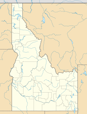
Location of the mouth of the North Fork Salmon River in Idaho
|
|
| Country | United States |
| State | Idaho |
| Physical characteristics | |
| Main source | Lewis and Clark Ridge 7,960 ft (2,430 m) 45°42′02″N 113°58′29″W / 45.70056°N 113.97472°W |
| River mouth | Salmon River 3,625 ft (1,105 m) 45°24′19″N 113°59′41″W / 45.40528°N 113.99472°W |
| Length | 24 mi (39 km) |
| Basin features | |
| Basin size | 211 sq mi (550 km2) |
The North Fork Salmon River is a cool river in Idaho, United States. It's like a smaller stream that flows into the bigger Salmon River. This river is about 24-mile (39 km) long. It's found in a place called Lemhi County.
Contents
About the North Fork Salmon River
This river is an important part of the natural landscape in east-central Idaho. It helps carry water through the region. The North Fork Salmon River is called a "tributary" because it flows into a larger river.
Where Does It Start?
The North Fork Salmon River begins high up in the mountains. Its source is a place called Lewis and Clark Ridge. This spot is very high, about 7,960 ft (2,430 m) above sea level. Imagine starting your journey from such a high point!
Where Does It Go?
After flowing for about 24 miles (39 km), the North Fork Salmon River joins the famous Salmon River. This meeting point is near a town called North Fork. It's about 20 miles (32 km) north of the town of Salmon. The river's journey ends at an elevation of about 3,625 ft (1,105 m).
How Big Is Its Area?
The area that collects water for the North Fork Salmon River is called its basin. This basin covers about 211 sq mi (550 km2). This means all the rain and snow that falls in this large area eventually flows into the river.
How Much Water Flows?
The amount of water in the river changes throughout the year. Near North Fork, the river's flow has been measured. It can be as low as 28 cu ft/s (0.79 m3/s) during dry times. On average, it flows at about 90.4 cu ft/s (2.56 m3/s). But during floods or after heavy snowmelt, it can reach up to 901 cu ft/s (25.5 m3/s)!
 | John T. Biggers |
 | Thomas Blackshear |
 | Mark Bradford |
 | Beverly Buchanan |


