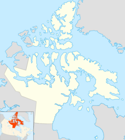
Pelly Bay facts for kids
Quick facts for kids Pelly Bay |
|
|---|---|
| Location | Gulf of Boothia |
| Coordinates | 68°53′N 90°5′W / 68.883°N 90.083°W |
| Basin countries | Canada |
| Settlements | Kugaaruk |
Pelly Bay is a waterway located far north in the Arctic part of Canada. It is found in the Kitikmeot Region of Nunavut. This bay is connected to a larger body of water called the Gulf of Boothia.
Contents
Exploring Pelly Bay
Pelly Bay is a cool place to learn about Canada's Arctic. It is surrounded by interesting land features. To the east, you will find the Simpson Peninsula. This is a large piece of land that helps form the bay's shape.
Islands in the Bay
Inside Pelly Bay, there is an island called Helen Island. Islands are pieces of land completely surrounded by water. Helen Island is a small part of the bay's natural landscape.
The Town of Kugaaruk
On the eastern shore of Pelly Bay, there is a small community. This town is called Kugaaruk. It is home to many people who live in the Arctic. Before 1999, Kugaaruk was also known by the name Pelly Bay.
Who Was Sir John Pelly?
Pelly Bay was named after an important person named Sir John Pelly. He was a leader of a very old company. This company was called the Hudson's Bay Company.
The Hudson's Bay Company
The Hudson's Bay Company was a big trading company. It was very active in Canada's early history. Sir John Pelly was the governor of this company. A governor is like a main boss or leader.
Rupert's Land Connection
At the time Pelly Bay was named, it was part of a large area. This area was known as Rupert's Land. Rupert's Land was a British colony. This means it was controlled by Great Britain. The Hudson's Bay Company managed this vast territory.
 | Janet Taylor Pickett |
 | Synthia Saint James |
 | Howardena Pindell |
 | Faith Ringgold |


