Pilot Valley Playa (Nevada and Utah) facts for kids
Quick facts for kids Pilot Valley Playa |
|
|---|---|
| Floor elevation | 4,200 ft (1,300 m) |
| Length | 30 mi (50 km), north to south |
| Width | 5–10 mi (8–16 km) |
| Geography | |
| Borders on | west: Pilot Range southeast: Silver Island Range |
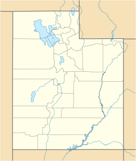
The Pilot Valley Playa is a large, flat area of land in Utah and Nevada. It's a type of dry lakebed called a playa and also a salt pan. This means it's covered in salt.
Long ago, during the Pleistocene Ice Age, this area was part of a huge ancient lake called Lake Bonneville. Today, the Pilot Valley Playa is what's left of that lake. It stretches about 30 miles long and is 5 to 10 miles wide. The land here is about 4,200 feet above sea level.
To the west, you'll find the Pilot Mountains. To the southeast, there are the Silver Island Mountains. Some fresh water springs can be found at the base of the Pilot Mountains.
What is the Pilot Valley Playa Like?
The Pilot Valley Playa is a very dry place. It gets very little rain or snow. The temperatures can be very hot or very cold. Strong winds also blow across the flat land.
Where Does the Water Go?
The playa is part of a larger area called the Pilot-Thousand Springs Watershed. A watershed is an area of land where all the water drains into one place. This watershed covers about 1,780 square miles. It is an endorheic area, which means water flows into it but does not flow out to the ocean. Instead, the water either sinks into the ground or evaporates.
 | Madam C. J. Walker |
 | Janet Emerson Bashen |
 | Annie Turnbo Malone |
 | Maggie L. Walker |


