Pine Ridge, Oklahoma facts for kids
Quick facts for kids
Pine Ridge, Oklahoma
|
|
|---|---|

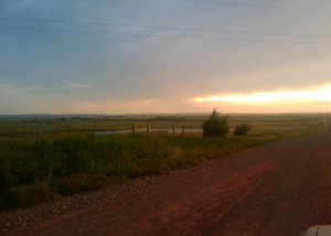
Sunset on June 6, 2009 at Pine Ridge
|
|
| Country | United States |
| State | Oklahoma |
| County | Caddo |
| Elevation | 1,460 ft (445 m) |
| Time zone | UTC-6 (Central (CST)) |
| • Summer (DST) | UTC-5 (CDT) |
| GNIS feature ID | 1100741 |
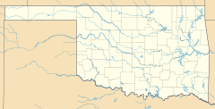
Pine Ridge is a small, unincorporated community in Caddo County, Oklahoma, United States. An unincorporated community means it's a group of homes and businesses that isn't officially a town or city with its own local government. Pine Ridge is located about 6 miles (10 km) south of Fort Cobb. You can find it where County Road 1380 and County Street 2550 meet.
Contents
A Look Back: Pine Ridge's Past
Locals say the name "Pine Ridge" came from a popular radio show called Lum and Abner. This show was set in a fictional community also named Pine Ridge, Arkansas. The owner of the local grocery store supposedly named his store after the show. Over time, this name became used for the entire community.
Busy Times in the 1940s
In the 1940s, Pine Ridge was a busy place. It was a hub of activity where the old Ozark Trail met the Fort Cobb road. The community had a grocery store and two churches. These churches were Hopewell Missionary Baptist Church and Pine Ridge Church of Christ.
Changes and Decline
By the 1950s and 1960s, the community started to decline. The grocery store closed down. Eventually, the churches also closed or merged with churches in nearby towns. Some church buildings were even moved to other communities. For example, one church building traveled about 25 miles to Saddle Mountain.
New Growth in the 2010s
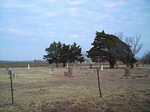
By the 1980s, not much was left of the original community. You could only see an electrical substation and the remains of a church building. The Pleasant Valley Cemetery was also still there. However, things changed in the late 2010s. A new 3-megawatt solar power plant was built in Pine Ridge. This brought new energy to the area.
Wind Power Arrives
In 2022, the Caddo Wind Farm was completed in Pine Ridge. This is a huge project with more than 90 wind turbines. It can produce 300 megawatts of electricity. Many big companies, like McDonald's and Hormel, buy electricity from this wind farm. The company says the wind farm helps reduce carbon dioxide emissions. It's like taking over 149,000 cars off the road each year. This site creates enough electricity to power 110,000 homes!
Pine Ridge Today
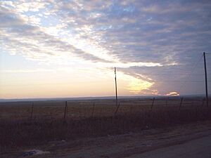
Today, Pine Ridge is located where the paved road from Fort Cobb meets the old Ozark Trail. The community is mostly made up of farmland. Farmers grow wheat and hay, and ranchers raise cattle. The Pine Ridge solar power plant is also a big part of the area. There's even a winery nearby called Woods and Waters Winery and Vineyard.
Schools and Services
Students from Pine Ridge used to go to school in Broxton. But in the 1990s, that school district combined with Fort Cobb. Now, students attend schools in Fort Cobb. Telephone numbers in the Pine Ridge area use prefixes from both Fort Cobb and Apache. CK Energy Electric Cooperative provides electricity to the community. This company was formed in 2016 when two smaller electric cooperatives merged.
Local Government Representation
Pine Ridge is part of State House District 56. It is also located within State Senate District 26. These districts help represent the community's interests in the state government.
 | Claudette Colvin |
 | Myrlie Evers-Williams |
 | Alberta Odell Jones |


