Pisgah State Park facts for kids
Quick facts for kids Pisgah State Park |
|
|---|---|
| Location | Cheshire County, New Hampshire, United States |
| Area | 13,361 acres (5,407 ha) |
| Elevation | 971 feet (296 m) |
| Max. elevation | 1,381 ft (421 m) (Hubbard Hill) |
| Min. elevation | 390 ft (120 m) (Ashuelot River) |
| Designation | New Hampshire state park |
| Established | 1967 |
| Administrator | New Hampshire Parks and Recreation |
| Website | Pisgah State Park |
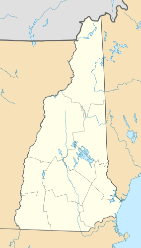
Pisgah State Park is a huge outdoor area in New Hampshire. It covers about 13,300 acres (5,400 ha) of land. This makes it the biggest state park in New Hampshire! The park is located in Cheshire County. It spreads across three towns: Winchester, Chesterfield, and Hinsdale.
This amazing park has a complete watershed. A watershed is an area of land where all the water drains into a single river or lake. Pisgah State Park also has seven ponds, four high ridges, and many wetlands. You can even find an 20-acre (8 ha) area of very old trees, called an old-growth forest.
Contents
Exploring Pisgah State Park
Pisgah State Park is a great place to visit all year round. It offers many fun activities for people who love the outdoors. You can explore its vast wilderness and enjoy nature.
What Can You Do Here?
The park is open every day for hiking. You can walk on many different trails. If you enjoy biking, Mountain biking is allowed on some paths. For those who like motorized fun, ATV and snowmobile use is also permitted on certain trails.
Park Access Points
There are six different places where you can enter the park. These are called trailheads. They provide free access for everyone to enjoy the park's beauty.
Park Geography
Pisgah State Park is located in the southwestern part of New Hampshire. It covers parts of three towns. Most of the park, about 8,320 acres (33.7 km2), is in Winchester. A northern section, about 4,660 acres (18.9 km2), is in Chesterfield. The westernmost part, about 690 acres (2.8 km2), is in Hinsdale.
Elevation and Water Bodies
The park has different heights of land. The lowest point is about 120 m (390 ft) above sea level. This is found along the Ashuelot River in the park's southwest corner. The highest point is 421 m (1,381 ft) high. This is at the top of Hubbard Hill, located near the park's northwest edge.
The biggest body of water in the park is the Pisgah Reservoir, also known as Round Pond. It covers about 120-acre (0.49 km2) and is located west of the park's center. Another important pond is Kilburn Pond, which is about 35-acre (0.14 km2) and is near the park's western border.
 | James Van Der Zee |
 | Alma Thomas |
 | Ellis Wilson |
 | Margaret Taylor-Burroughs |


