Pleasant Valley, Nevada facts for kids
Quick facts for kids
Pleasant Valley, Nevada
|
|
|---|---|
| Country | United States |
| State | Nevada |
| County | Washoe |
| Elevation | 4,780 ft (1,457 m) |
| Time zone | UTC-8 (Pacific (PST)) |
| • Summer (DST) | UTC-7 (PDT) |
| Area code(s) | 775 |
| GNIS feature ID | 860981 |
Pleasant Valley is a very small place in Washoe County, Nevada, United States. It is an unincorporated community. This means it is not officially a city or town with its own local government. Instead, it is managed by the county.
Pleasant Valley has a ZIP Code of 89521. It is part of the larger Reno–Sparks area. This bigger area is called a Metropolitan Statistical Area. This term describes a region with a large population center and nearby communities that are closely connected.
Location and Roads
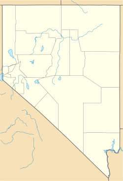
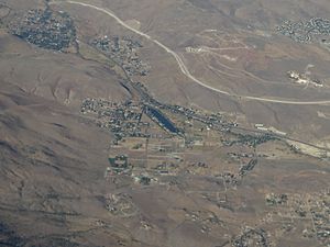
Pleasant Valley is located in the state of Nevada. It sits within Washoe County. The community is found just south of the cities of Reno and Sparks.
Several important roads pass through Pleasant Valley. These include Interstate 580, U.S. Route 395, and U.S. Route 395 Alternate. These roads help divide the valley into eastern and western parts. They also make it easy to travel to and from the area.
See also
 In Spanish: Pleasant Valley (Nevada) para niños
 | Janet Taylor Pickett |
 | Synthia Saint James |
 | Howardena Pindell |
 | Faith Ringgold |


