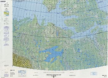
Qikiqtaryuaq (Queen Maud Gulf) facts for kids

Map including Qikiqtaryuaq
|
|
| Geography | |
|---|---|
| Location | Northern Canada |
| Coordinates | 68°30′02″N 104°42′44″W / 68.50056°N 104.71222°W |
| Archipelago | Arctic Archipelago |
| Area | 381 km2 (147 sq mi) |
| Administration | |
|
Canada
|
|
| Territory | Nunavut |
| Region | Kitikmeot |
| Demographics | |
| Population | Uninhabited |
Qikiqtaryuaq is an island in the far north of Canada. It used to be called Melbourne Island. This island is part of Nunavut, which is one of Canada's territories. It is a very remote place, located in the Arctic Archipelago, a huge group of islands in the Arctic Ocean.
Qikiqtaryuaq is not home to any people. It is a wild and natural place, mostly covered by lakes and marshy areas. The island is shaped like an oval and covers an area of about 381 square kilometers (which is about 147 square miles).
Contents
Exploring Qikiqtaryuaq Island
Qikiqtaryuaq is found in the Kitikmeot Region of Nunavut. This region is known for its vast, untouched landscapes and cold climate. The island sits at the western end of a large body of water called Queen Maud Gulf.
Where is Qikiqtaryuaq Located?
The island is positioned just off the coast of a larger landmass known as Kiillinnguyaq. To the north of Qikiqtaryuaq, you'll find Victoria Island, which is the second largest island in the entire Canadian Arctic. This means Qikiqtaryuaq is surrounded by other islands and the cold waters of the Arctic.
What is Qikiqtaryuaq Like?
Qikiqtaryuaq is a flat island, and its landscape is mostly made up of many small lakes and wet, marshy ground. These marshlands are important habitats for different kinds of Arctic plants and animals, especially birds that come to nest there during the warmer summer months. Because it's so far north, the island experiences very long, cold winters and short, cool summers.
See also
 In Spanish: Isla Melbourne para niños


