
Río Lajas, Dorado, Puerto Rico facts for kids
Quick facts for kids
Río Lajas
|
|
|---|---|
|
Barrio
|
|
.jpg)
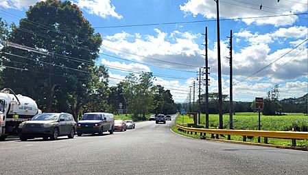
Puerto Rico Highway 165 in Río Lajas
|
|

Location of Río Lajas within the municipality of Dorado shown in red
|
|

Río Lajas, Dorado, Puerto Rico
Location in Caribbean
|
|
| Commonwealth | |
| Municipality | |
| Area | |
| • Total | 1.56 sq mi (4.0 km2) |
| • Land | 1.55 sq mi (4.0 km2) |
| • Water | 0.01 sq mi (0.03 km2) |
| Elevation | 246 ft (75 m) |
| Population
(2010)
|
|
| • Total | 2,559 |
| • Density | 1,651/sq mi (637/km2) |
| Source: 2010 Census | |
| Time zone | UTC−4 (AST) |
| ZIP Code |
00646
|
Río Lajas is a small area, called a barrio, located in the municipality of Dorado, Puerto Rico. A municipality is like a county or a big town. In 2010, about 2,559 people lived in Río Lajas. It's a part of Puerto Rico, which is a commonwealth of the United States.
Contents
A Look Back at Río Lajas's History
Puerto Rico became a part of the United States after the Spanish–American War in 1898. This happened because of an agreement called the Treaty of Paris of 1898. After this, Puerto Rico became an "unincorporated territory." This means it's connected to the U.S. but doesn't have all the same rights as a state.
In 1899, the United States Department of War counted the people living in Puerto Rico. They found that Río Lajas barrio had a population of 377 people. Over the years, the number of people living there grew quite a bit.
| Historical population | |||
|---|---|---|---|
| Census | Pop. | %± | |
| 1900 | 377 | — | |
| 1910 | 592 | 57.0% | |
| 1920 | 613 | 3.5% | |
| 1930 | 796 | 29.9% | |
| 1940 | 1,004 | 26.1% | |
| 1950 | 934 | −7.0% | |
| 1980 | 2,193 | — | |
| 1990 | 2,548 | 16.2% | |
| 2000 | 2,573 | 1.0% | |
| 2010 | 2,559 | −0.5% | |
| U.S. Decennial Census 1899 (shown as 1900) 1910-1930 1930-1950 1980-2000 2010 |
|||
Understanding Barrios and Sectors
In Puerto Rico, a barrio is a type of local area, similar to a neighborhood or a small district. These barrios are then divided into even smaller parts called sectores (which means sectors in English).
The names of these sectors can be different. Some are simply called "sector," while others might be named urbanización (a type of housing development), reparto, barriada, or residencial.
Main Sectors in Río Lajas
Here are the different sectors that make up the Río Lajas barrio:
- Parcelas Viejas
- Sector Alturas de Río Lajas
- Sector El Rincón
- Sector Las Corozas
- Sector Villa Iriarte
- Urbanización Molinos del Río
Gallery
-
Puerto Rico Highway 165 heading towards Río Lajas and Toa Alta.
.jpg)
See also
 In Spanish: Río Lajas (Dorado) para niños
- List of communities in Puerto Rico
- List of barrios and sectors of Dorado, Puerto Rico
