Riverside, San Juan County, New Mexico facts for kids
Quick facts for kids
Riverside
|
|
|---|---|
| Country | United States |
| State | New Mexico |
| County | San Juan |
| Elevation | 5,993 ft (1,827 m) |
| Time zone | UTC-7 (MST) |
| • Summer (DST) | UTC-6 (MDT) |
| ZIP codes |
87410
|
| Area code(s) | 505 |
Riverside, also known as Hendricks, is a small place in San Juan County, New Mexico, United States. It is called an unincorporated community. This means it's a group of homes and businesses that doesn't have its own local government, like a city or town would.
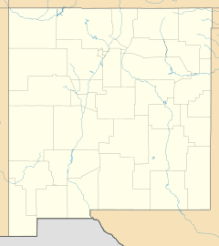
Riverside is located right next to the Animas River. It's about one mile south of the border with Colorado. You can find it along U.S. Route 550, where it meets county roads 2090 and 2093. The closest community to Riverside is Cedar Hill, which is about 3.5 miles (5.6 km) to the south.
History of Riverside
For a long time, until around 1876, the land where Riverside is now was mostly used by the Jicarilla Apache and Ute tribes. These are Native American groups who lived in the area.
In 1887, this specific area was officially removed from the reservation land set aside for the Jicarilla Apache. Soon after, new settlers began to move into the area.
Riverside even had its own post office for many years. It opened in 1905 and helped people send and receive mail until it closed in 1938.
 | Claudette Colvin |
 | Myrlie Evers-Williams |
 | Alberta Odell Jones |


