Rough Lake facts for kids
Quick facts for kids Rough Lake |
|
|---|---|
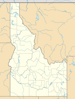
| Location | Custer County, Idaho |
| Coordinates | 44°11′02″N 114°48′04″W / 44.184005°N 114.801201°W |
| Type | Glacial |
| Primary outflows | Rough Creek to Salmon River |
| Basin countries | United States |
| Max. length | 365 m (1,198 ft) |
| Max. width | 219 m (719 ft) |
| Surface elevation | 2,715 m (8,907 ft) |
Rough Lake is a beautiful mountain lake located in Custer County, Idaho, United States. It is high up in the White Cloud Mountains. This special lake is part of the Sawtooth National Recreation Area, a popular spot for outdoor adventures. Rough Lake is known as an alpine lake because it sits at a very high elevation.
Discovering Rough Lake
Rough Lake is a type of lake called a glacial lake. This means it was formed a long, long time ago by giant sheets of ice called glaciers. As glaciers moved, they carved out the land, leaving behind a basin that filled with water when the ice melted.
Where is Rough Lake?
Rough Lake is found in the central part of Idaho. It is located in the stunning White Cloud Mountains. The lake sits at an elevation of about 2,715 meters (8,907 feet) above sea level. This high elevation is why it's called an alpine lake.
Exploring the Area
Rough Lake is a great place to visit for those who love nature. It is about 365 meters (1,198 feet) long and 219 meters (719 feet) wide. You can reach the lake by hiking on trails within the Sawtooth National Forest. Specifically, you can use trails 647 and 616 to get there.
The lake is surrounded by other interesting natural features. To the north, you can find the Casino Lakes and Garland Lakes. To the west of Rough Lake is Lookout Mountain. These nearby spots add to the beauty of the area.
Water Flow and Connections
Water flows out of Rough Lake into a stream called Rough Creek. This creek then flows into the larger Salmon River. The Salmon River is one of the longest rivers in Idaho. This connection shows how water from Rough Lake becomes part of a much bigger water system.


