Río Ceballos facts for kids
Quick facts for kids
Río Ceballos
|
|
|---|---|
| Country | |
| Province | |
| Department | Colón Department |
| Elevation | 729 m (2,392 ft) |
| Population
(2010 census)
|
|
| • Total | 22,432 |
| Demonym(s) | rioceballense |
| Time zone | UTC−3 (ART) |
| CPA base |
X5111
|
| Dialing code | +54 3543 |
| Climate | Cfb |
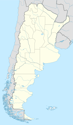
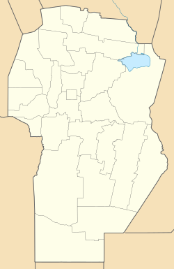
Río Ceballos is a city and a popular place for tourists in the Córdoba Province of central Argentina. It sits at the base of the Sierras Chicas mountains. The city is about 30 kilometers (18 miles) north of Córdoba, the capital city of the province. It is also part of the larger area called Greater Córdoba.
You can reach Río Ceballos from Córdoba by taking Route E-53 north, which goes past the airport. Another way is to travel through Villa Allende, Mendiolaza, and Unquillo using Route E-57.
About Río Ceballos
Río Ceballos is known for its beautiful natural surroundings. It is a great spot for people who enjoy outdoor activities. The city offers a mix of mountain views and city life.
Population Growth
In 2001, Río Ceballos had 16,632 people living there. This was a big increase of almost 30% from the 1991 census. By 2010, the population grew to 22,432. Río Ceballos is one of the largest cities in the Greater Córdoba area.
Natural Attractions
One of the most important natural spots near Río Ceballos is the "La Quebrada Park." This park is a special Natural Hydrologic Reserve. It means the park helps protect water sources and the environment.
La Quebrada Park
La Quebrada Park is about 7 kilometers (4.3 miles) from Río Ceballos. You can get there by following San Martin Avenue to its end. The park is a wonderful place to explore nature. It has a dam and a lake, which are important for the local water supply.
See also
 In Spanish: Río Ceballos para niños
 | Ernest Everett Just |
 | Mary Jackson |
 | Emmett Chappelle |
 | Marie Maynard Daly |


