Santa Clara Indian Reservation facts for kids
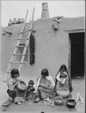
The Santa Clara Pueblo is a special place in north-central New Mexico, United States. It is also known by its Tewa name, Kha'p'oe Ówîngeh. This land is the homeland of a group of Native Americans called the Pueblo people, specifically those who speak the Tewa language.
The Santa Clara Pueblo land covers about 76.73 square miles (198.729 square kilometers). It stretches across parts of Rio Arriba, Sandoval, and Santa Fe Counties. The Pueblo includes the community named Santa Clara Pueblo and parts of three other nearby towns.
In the year 2000, about 10,658 people lived on the Santa Clara Pueblo land. Most of these people live in the northeastern part of the reservation. The biggest town on the reservation is Española, though a small part of Española is not on the Pueblo's land.
Communities of Santa Clara Pueblo
The Santa Clara Pueblo land includes several communities. Here are the main ones:
- Española: Most of this city is on the Pueblo land, with a population of about 5,681 people.
- Santa Clara Pueblo: This is the main community and namesake of the Pueblo.
- Santa Cruz: A part of this community is on the Pueblo land, with about 266 people living there.
- Sombrillo: A section of this community is also on the Pueblo land, with about 157 people.