Santa Teresita District facts for kids
Quick facts for kids
Santa Teresita
|
|
|---|---|
|
District
|
|
| Country | |
| Province | Cartago |
| Canton | Turrialba |
| Creation | 11 June 1968 |
| Area | |
| • Total | 60 km2 (20 sq mi) |
| Elevation | 480 m (1,570 ft) |
| Population
(2011)
|
|
| • Total | 4,744 |
| • Density | 79/km2 (205/sq mi) |
| Time zone | UTC−06:00 |
| Postal code |
30505
|
Santa Teresita is a district in Costa Rica. It is part of the Turrialba area, which is in the Cartago province.
Contents
History of Santa Teresita
Santa Teresita became its own district on June 11, 1968. Before that, it was part of the Peralta area.
Geography of Santa Teresita
Santa Teresita covers an area of 60 square kilometers. It is located 480 meters (about 1,575 feet) above sea level.
People of Santa Teresita
| Historical population | |||
|---|---|---|---|
| Census | Pop. | %± | |
| 1973 | 2,894 | — | |
| 1984 | 3,835 | 32.5% | |
| 2000 | 5,095 | 32.9% | |
| 2011 | 4,744 | −6.9% | |
|
Instituto Nacional de Estadística y Censos |
|||
In 2011, a count of the people showed that Santa Teresita had 4,744 residents.
Getting Around Santa Teresita
Roads in the District
The main road that goes through Santa Teresita is:
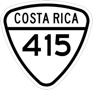
- National Route 415
Fun Things to See
The Guayabo National Monument is a very old and important place. It is located between Santa Teresita and the Santa Cruz district. Both districts are in the Turrialba area.
See also
 In Spanish: Santa Teresita (Turrialba) para niños
 | James Van Der Zee |
 | Alma Thomas |
 | Ellis Wilson |
 | Margaret Taylor-Burroughs |


